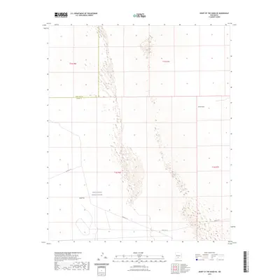
2023 Map of Heart of the Sands NE
USGS Topo · Published 2023About this map
White Sands dominates this Tularosa Basin landscape, where the shifting gypsum dunes meet the expansive Alkali Flat. This portion of the White Sands Missile Range reveals a specialized environment where military infrastructure and natural phenomena intersect. The terrain is defined by the stark white gypsum formations characteristic of the region, interspersed with the restricted access corridors of the missile range. Military transport routes, such as Wsmr P Rt 10, cross the flat expanse, highlighting the area's role in aerospace and defense testing within Otero County. The map provides a clear look at the township and range divisions, including t16s r6e, across this federally managed desert.
Find a feature on this map
10 named features on this map. Tap any name to fly to it.
Don’t see what you’re looking for? This feature index may not catch every label — zoom into the map to look around manually.
Map Details
Editions of this 2023 Heart of the Sands NE Map
This is the sole edition of this map. No revisions or reprints were ever made.
Other maps of this area

1916 · Tularosa
USGS Topo · 1:125,000

1916 · Point Of Sands
USGS Topo · 1:125,000

1947 · Point Of Sands 2
USGS Topo · 1:62,500

1948 · Lumley Lake
USGS Topo · 1:62,500

1948 · Tularosa
USGS Topo · 1:62,500

1948 · Holloman
USGS Topo · 1:62,500

1954 · Tularosa
USGS Topo · 1:250,000

1955 · Las Cruces
USGS Topo · 1:250,000

1958 · Las Cruces
USGS Topo · 1:250,000

1958 · Tularosa
USGS Topo · 1:250,000