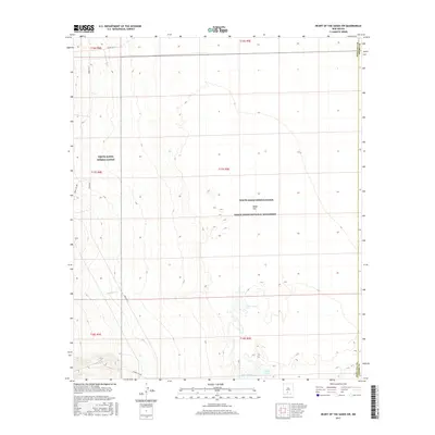
2017 Map of Heart of the Sands SW
USGS Topo · Published 2017About this map
Lake Lucero and the expansive Alkali Flat dominate this desert landscape, where the ephemeral waters of Andrecito Cr drain toward the basin floor. This area is defined by its restrictive access and environmental significance, split between the White Sands Missile Range and the White Sands National Monument. The topography is exceptionally detailed, showing the fine contours of the gypsum dunes and the seasonal lake beds at the transition from Doña Ana and Otero counties. Military infrastructure is represented by specialized routes such as Wsmr S RT 288 and Wsmr P RT 7, which cross the arid terrain. The map captures a high-resolution view of the unique geology and the intersection of federal conservation and defense lands in the Tularosa Basin.
Find a feature on this map
16 named features on this map. Tap any name to fly to it.
Don’t see what you’re looking for? This feature index may not catch every label — zoom into the map to look around manually.
Map Details
Editions of this 2017 Heart of the Sands SW Map
This is the sole edition of this map. No revisions or reprints were ever made.
Other maps of this area

1916 · Tonuco
USGS Topo · 1:125,000

1916 · Point Of Sands
USGS Topo · 1:125,000

1932 · Tonuco
USGS Topo · 1:125,000

1947 · Point Of Sands 2
USGS Topo · 1:62,500

1947 · Lake Lucero
USGS Topo · 1:62,500

1948 · Bear Peak
USGS Topo · 1:62,500

1948 · Kaylor Mountain
USGS Topo · 1:62,500

1948 · Lake Lucero
USGS Topo · 1:24,000
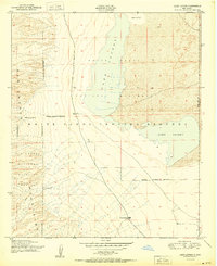
1950 · Lake Lucero
USGS Topo · 1:24,000
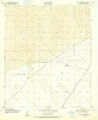
1950 · Lake Lucero NE
USGS Topo · 1:24,000