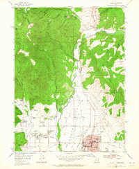
1955 Map of Heber
USGS Topo · Published 1964About this map
Heber and Midway anchor this mid-century look at the Heber Valley, showing a landscape defined by an intensive network of water management and deep-rock mining. The northern reaches are riddled with the subterranean infrastructure of the Park City mining district, including the Ontario No. 2 Shaft and the Keetley Tunnel. Along the Provo River, the map captures the community of Hailstone and the Murdock Powerhouse decades before the creation of the modern reservoir. The valley floor is crisscrossed by an intricate system of irrigation, featuring the Timpanogos canal and the Westside Ditch, which supported the agricultural life of the region. Local landmarks like Memorial Hill and Burgi Hill rise from the valley floor, while the surrounding peaks like Bald Eagle Mountain and The Peak emphasize the sharp transition from the irrigated basin to the mineral-rich highlands.
Find a feature on this map
78 named features on this map. Tap any name to fly to it.
Don’t see what you’re looking for? This feature index may not catch every label — zoom into the map to look around manually.
Map Details
Editions of this 1955 Heber Map
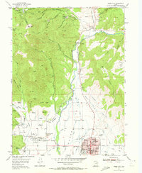
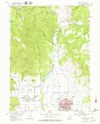
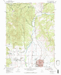
5 editions found

Other maps of this area

1885 · Salt Lake
USGS Topo · 1:250,000

1900 · Coalville
USGS Topo · 1:125,000

1903 · Coalville
USGS Topo · 1:125,000

1907 · Strawberry Valley
USGS Topo · 1:125,000

1909 · Strawberry Valley
USGS Topo · 1:125,000

1925 · Ft. Douglas
USGS Topo · 1:125,000

1928 · Ft. Douglas
USGS Topo · 1:125,000

1948 · Orem
USGS Topo · 1:62,500

1948 · Aspen Grove
USGS Topo · 1:24,000

1950 · Aspen Grove
USGS Topo · 1:24,000