
1955 Map of Heber
USGS Topo · Published 1956About this map
Heber and Midway center this 1950s survey of the Heber Valley, showing a landscape defined by its agricultural roots and an extensive network of irrigation infrastructure like the Wasatch and Timpanogos canals. To the north and west, the terrain rises sharply into the mountains, where the heavy industrial footprint of the Park City mining district is evident through features like the Ontario Drain Tunnel, Mayflower Mine, and Glencoe Mine. Along the Provo River, the settlements of Hailstone and Jordanelle appear in their original locations before later water reclamation projects altered the valley floor. Educational and civic life is anchored by Wasatch High Sch, North School, and Central School, while the valley's thermal activity is marked by various Hot Springs and the landmark Memorial Hill.
Find a feature on this map
78 named features on this map. Tap any name to fly to it.
Don’t see what you’re looking for? This feature index may not catch every label — zoom into the map to look around manually.
Map Details
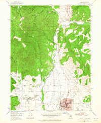
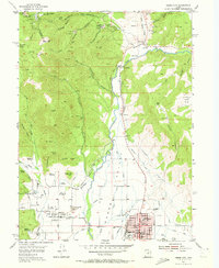
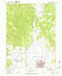
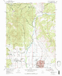
Editions of this 1955 Heber Map
5 editions found
Other maps of this area

1885 · Salt Lake
USGS Topo · 1:250,000

1900 · Coalville
USGS Topo · 1:125,000

1903 · Coalville
USGS Topo · 1:125,000

1907 · Strawberry Valley
USGS Topo · 1:125,000

1909 · Strawberry Valley
USGS Topo · 1:125,000

1925 · Ft. Douglas
USGS Topo · 1:125,000

1928 · Ft. Douglas
USGS Topo · 1:125,000

1948 · Orem
USGS Topo · 1:62,500

1948 · Aspen Grove
USGS Topo · 1:24,000

1950 · Aspen Grove
USGS Topo · 1:24,000