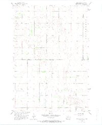
1956 Map of Hecla NE
USGS Topo · Published 1974About this map
Rural schoolhouses and scattered wetlands define this prairie landscape along the border of Dickey and Sargent counties in North Dakota, extending south into Brown County, South Dakota. During the mid-1950s, the region was characterized by township-organized land use, including Lovell, Hecla, and Portage. The interior topography is remarkably flat, punctuated only by small depressions and the presence of localized educational hubs like Eaton Sch No 2 and Tiry Sch. These school districts served a dispersed farming population before the consolidation of rural districts in the latter half of the twentieth century. The map also records the precise intersection of the state line, where South Dakota and North Dakota meet, as well as several local sites like Pearson Sch and Johnson Sch that once anchored these small agricultural communities.
Find a feature on this map
11 named features on this map. Tap any name to fly to it.
Don’t see what you’re looking for? This feature index may not catch every label — zoom into the map to look around manually.
Map Details
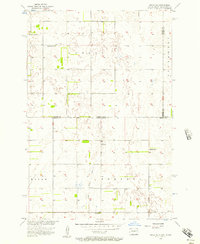
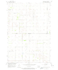
Editions of this 1956 Hecla NE Map
3 editions found
Other maps of this area

1894 · Hecla
USGS Topo · 1:62,500

1894 · Oakes
USGS Topo · 1:62,500

1895 · Lamoure
USGS Topo · 1:125,000

1896 · Columbia
USGS Topo · 1:125,000

1918 · La Moure
USGS Topo · 1:125,000

1953 · Jamestown
USGS Topo · 1:250,000

1953 · Hecla SE
USGS Topo · 1:24,000

1953 · Houghton
USGS Topo · 1:24,000

1953 · Newark SW
USGS Topo · 1:24,000

1953 · Milbank
USGS Topo · 1:250,000