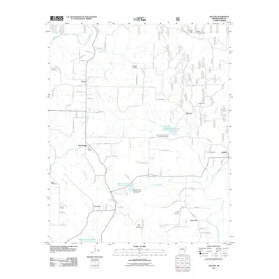
2011 Map of Hector
USGS Topo · Published 2011About this map
Hector serves as the primary hub in this rural Pope County landscape, where the terrain transitions from the heights of Oak Mountain and White Oak Mountain toward the winding drainage of Anderson Creek and Illinois Bayou. The 2011 geography is defined by a series of significant water management projects, most notably the West Fork Point Remove Creek Site Nine Reservoir and its associated West Fork Point Remove Creek Site Nine Dam, which shaped the local hydrology by the early 21st century.
Find a feature on this map
91 named features on this map. Tap any name to fly to it.
Don’t see what you’re looking for? This feature index may not catch every label — zoom into the map to look around manually.
Map Details
Editions of this 2011 Hector Map
This is the sole edition of this map. No revisions or reprints were ever made.
Other maps of this area

1879 · Washington
USGS Topo · 1:62,500

1887 · Smyrna
USGS Topo · 1:62,500

1888 · Dardanelle #1
USGS Topo · 1:62,500

1889 · Treat
USGS Topo · 1:62,500

1889 · Marshall #3
USGS Topo · 1:62,500

1890 · Dardanelle
USGS Topo · 1:125,000

1892 · Marshall
USGS Topo · 1:125,000

1892 · Morrillton
USGS Topo · 1:125,000

1894 · Morrillton
USGS Topo · 1:125,000

1894 · Marshall
USGS Topo · 1:125,000