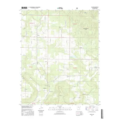
2017 Map of Hector
USGS Topo · Published 2017About this map
Hector and several nearby rural communities anchor this Pope County landscape as it appeared in the late 2010s. The topography is defined by significant elevations like White Oak Mtn and Buck Mtn, with the northern reaches of the sheet transitioning into the Ozark National Forest. For genealogists, the map is remarkably dense with burial sites serving these small settlements, including Campground Cem, Walnut Grove Cem, and Kinslow Cem near Appleton.
Find a feature on this map
88 named features on this map. Tap any name to fly to it.
Don’t see what you’re looking for? This feature index may not catch every label — zoom into the map to look around manually.
Map Details
Editions of this 2017 Hector Map
This is the sole edition of this map. No revisions or reprints were ever made.
Other maps of this area

1879 · Washington
USGS Topo · 1:62,500

1887 · Smyrna
USGS Topo · 1:62,500

1888 · Dardanelle #1
USGS Topo · 1:62,500

1889 · Treat
USGS Topo · 1:62,500

1889 · Marshall #3
USGS Topo · 1:62,500

1890 · Dardanelle
USGS Topo · 1:125,000

1892 · Marshall
USGS Topo · 1:125,000

1892 · Morrillton
USGS Topo · 1:125,000

1894 · Morrillton
USGS Topo · 1:125,000

1894 · Marshall
USGS Topo · 1:125,000