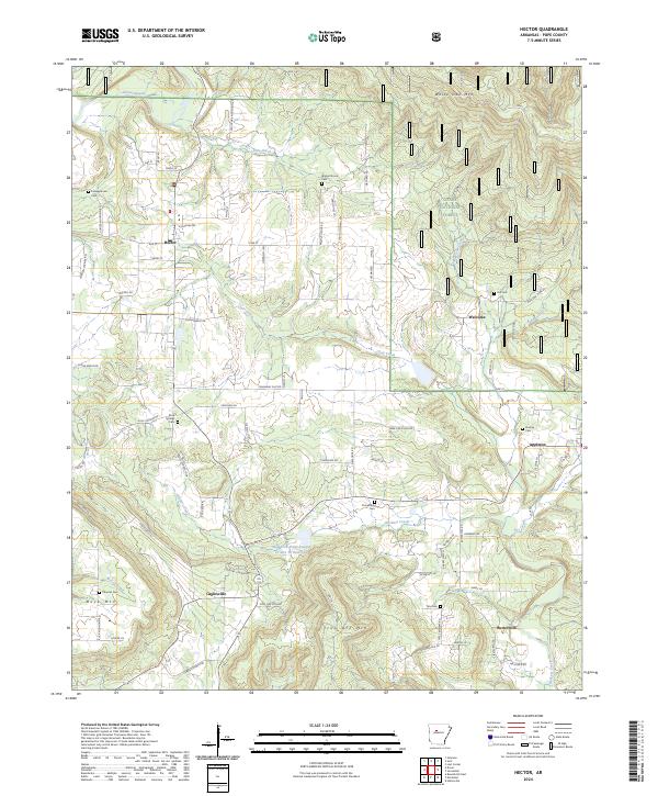
2024 Map of Hector
USGS Topo · Published 2024About this map
The town of Hector serves as the focal point of this Pope County landscape, situated near the southwestern edge of the Ozark National Forest. The region is defined by a series of small, established settlements including Welcome, Appleton, Buttermilk, and Caglesville, each connected by a network of local roads like Caglesville Ln and Welcome Home Rd. This area reflects a long history of rural community life, evidenced by numerous burial grounds such as Rock Springs Cem, Kinslow Cem, and Crossroads Cem scattered across the township lines.
Find a feature on this map
84 named features on this map. Tap any name to fly to it.
Don’t see what you’re looking for? This feature index may not catch every label — zoom into the map to look around manually.
Map Details
Editions of this 2024 Hector Map
This is the sole edition of this map. No revisions or reprints were ever made.
Other maps of this area

1879 · Washington
USGS Topo · 1:62,500

1887 · Smyrna
USGS Topo · 1:62,500

1888 · Dardanelle #1
USGS Topo · 1:62,500

1889 · Treat
USGS Topo · 1:62,500

1889 · Marshall #3
USGS Topo · 1:62,500

1890 · Dardanelle
USGS Topo · 1:125,000

1892 · Marshall
USGS Topo · 1:125,000

1892 · Morrillton
USGS Topo · 1:125,000

1894 · Morrillton
USGS Topo · 1:125,000

1894 · Marshall
USGS Topo · 1:125,000