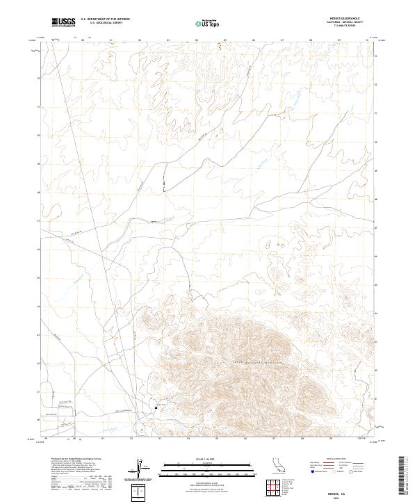
2021 Map of Hedges
USGS Topo · Published 2021About this map
The Cargo Muchacho Mountains dominate this arid landscape in southeastern Imperial County, where a network of desert roads and washes traces the history of travel and remote habitation. Evidence of early settlement and mining legacy is centered at the Hedges Cem, located just north of Tumco Wash. This site marks a focal point for researchers interested in the former gold-mining communities that once thrived in these hills.
Find a feature on this map
19 named features on this map. Tap any name to fly to it.
Don’t see what you’re looking for? This feature index may not catch every label — zoom into the map to look around manually.
Map Details
Editions of this 2021 Hedges Map
This is the sole edition of this map. No revisions or reprints were ever made.
Other maps of this area

1903 · Yuma
USGS Topo · 1:125,000

1905 · Yuma
USGS Topo · 1:125,000

1942 · Yuma
USGS Topo · 1:250,000

1942 · Blythe
USGS Topo · 1:250,000

1945 · Picacho Peak
USGS Topo · 1:62,500

1945 · Picacho
USGS Topo · 1:62,500

1951 · Picacho
USGS Topo · 1:62,500

1951 · Picacho Peak
USGS Topo · 1:62,500

1952 · Araz
USGS Topo · 1:24,000

1953 · Quartz Peak
USGS Topo · 1:62,500