
1953 Map of Quartz Peak
USGS Topo · Published 1954About this map
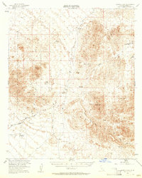
The Chocolate Mountains dominate this mid-century desert landscape, where a legacy of mining and military training intersect. Several historical extraction sites are documented across the terrain, including the Paymaster Mine, the Old Channel Mine Shaft, and the Gold Basin Rand Mine near Naval Glamis. The presence of the Naval Aerial Gunnery Range highlights the area's strategic use during the post-war era.
Find a feature on this map
29 named features on this map. Tap any name to fly to it.
Don’t see what you’re looking for? This feature index may not catch every label — zoom into the map to look around manually.
Map Details
Editions of this 1953 Quartz Peak Map
4 editions found
Other maps of this area

1903 · Yuma
USGS Topo · 1:125,000

1905 · Yuma
USGS Topo · 1:125,000

1907 · Holtville
USGS Topo · 1:125,000

1942 · El Centro
USGS Topo · 1:250,000

1942 · Yuma
USGS Topo · 1:250,000

1942 · Blythe
USGS Topo · 1:250,000

1945 · Picacho Peak
USGS Topo · 1:62,500

1945 · Cibola
USGS Topo · 1:62,500

1945 · Picacho
USGS Topo · 1:62,500

1951 · Picacho
USGS Topo · 1:62,500