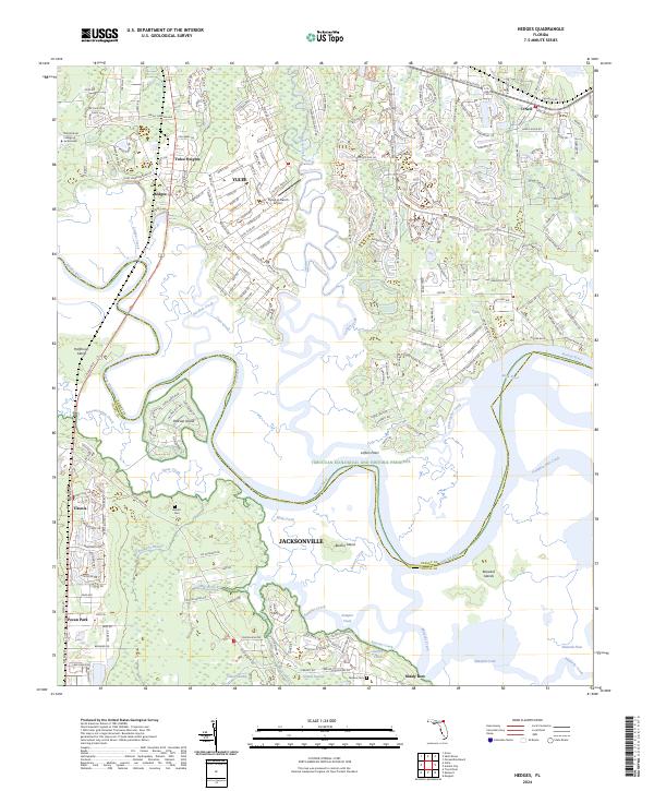
2024 Map of Hedges
USGS Topo · Published 2024About this map
Yulee and Yulee Heights anchor the northern landscape of this coastal Florida region, where residential growth meets the intricate tidal networks of the Nassau River. The transition between the pine flatwoods and the salt marshes is marked by a complex system of waterways, including Lofton Creek, Lumber Creek, and the winding Back River. This area serves as a significant intersection of modern infrastructure and preserved natural history, as much of the southern portion of the sheet is dedicated to the Timucuan Ecological and Historic Preserve.
Find a feature on this map
47 named features on this map. Tap any name to fly to it.
Don’t see what you’re looking for? This feature index may not catch every label — zoom into the map to look around manually.
Map Details
Editions of this 2024 Hedges Map
This is the sole edition of this map. No revisions or reprints were ever made.
Other maps of this area

1918 · St Marys
USGS Topo · 1:62,500

1918 · Jacksonville
USGS Topo · 1:62,500

1918 · Mayport
USGS Topo · 1:62,500

1919 · Fernandina
USGS Topo · 1:62,500

1919 · St Marys
USGS Topo · 1:62,500

1944 · Fernandina
USGS Topo · 1:62,500

1948 · Jacksonville
USGS Topo · 1:250,000

1948 · Eastport
USGS Topo · 1:24,000
1950 · Mayport
USGS Topo · 1:24,000

1950 · Trout River
USGS Topo · 1:24,000