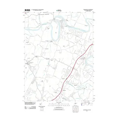
2011 Map of Hedgesville
USGS Topo · Published 2011About this map
The Potomac River winds through this 2011 survey, defining the border between West Virginia and Maryland where the historic Chesapeake and Ohio Canal follows the northern bank. This landscape in Berkeley County is marked by a high density of early burial grounds, including the Old Falling Waters Cemetery and Hedgesville Cemetery, reflecting the deep settlement history of the region. The rail infrastructure is prominent at the Cumbo Yard, while the river's influence is seen at Millers Bend and the McCoys Ferry crossing. From the industrial heritage of Green Spring Furnace to the residential clusters of Falling Waters and Bessemer, the map showcases a blend of historical transport corridors and modern growth. Notable landmarks like Flying d Airport and the Woodbrier Golf Course sit alongside natural features such as Opequon Creek and the heights of North Mountain.
Find a feature on this map
162 named features on this map. Tap any name to fly to it.
Don’t see what you’re looking for? This feature index may not catch every label — zoom into the map to look around manually.
Map Details
Editions of this 2011 Hedgesville Map
This is the sole edition of this map. No revisions or reprints were ever made.
Other maps of this area

1884 · Harpers Ferry
USGS Topo · 1:125,000

1891 · Harpers Ferry
USGS Topo · 1:125,000

1893 · Harpers Ferry
USGS Topo · 1:125,000

1894 · Winchester
USGS Topo · 1:125,000

1899 · Hancock
USGS Topo · 1:62,500

1901 · Hancock
USGS Topo · 1:62,500

1912 · Williamsport
USGS Topo · 1:62,500

1914 · Martinsburg
USGS Topo · 1:48,000

1914 · Gerrardstown
USGS Topo · 1:48,000

1916 · Gerrardstown
USGS Topo · 1:62,500