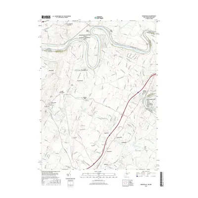
2016 Map of Hedgesville
USGS Topo · Published 2016About this map
The Potomac River winds in a dramatic oxbow at The Neck, defining the border between West Virginia and Maryland. This portion of the Chesapeake and Ohio Canal National Historical Park preserves the engineering legacy of the 19th-century waterway, including the Four Locks and Two Locks bypasses. Along the West Virginia side, the landscape is dotted with springs and farms, such as the Will Ellis Farm Spring and Dennis Farm Spring, highlighting the region's reliance on groundwater.
Find a feature on this map
211 named features on this map. Tap any name to fly to it.
Don’t see what you’re looking for? This feature index may not catch every label — zoom into the map to look around manually.
Map Details
Editions of this 2016 Hedgesville Map
This is the sole edition of this map. No revisions or reprints were ever made.
Other maps of this area

1884 · Harpers Ferry
USGS Topo · 1:125,000

1891 · Harpers Ferry
USGS Topo · 1:125,000

1893 · Harpers Ferry
USGS Topo · 1:125,000

1894 · Winchester
USGS Topo · 1:125,000

1899 · Hancock
USGS Topo · 1:62,500

1901 · Hancock
USGS Topo · 1:62,500

1912 · Williamsport
USGS Topo · 1:62,500

1914 · Martinsburg
USGS Topo · 1:48,000

1914 · Gerrardstown
USGS Topo · 1:48,000

1916 · Gerrardstown
USGS Topo · 1:62,500