2023 Map of Hedgesville
USGS Topo · Published 2023About this map
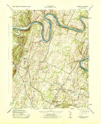
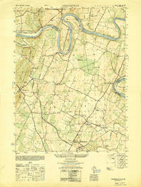
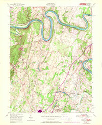
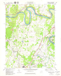
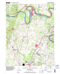
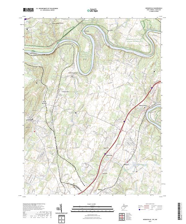
The Potomac River carves a dramatic series of loops through this borderland, where the Chesapeake and Ohio Canal National Historical Park preserves the industrial legacy of the region. The landscape is defined by the sharp bends of the river, most notably at The Neck and Millers Bend, where transportation history remains visible through features like Four Locks, Two Locks, and McCoys Ferry. This area shows a dense network of early settlements and agricultural crossroads, from the town of Hedgesville tucked near Skinners Gap to the river-oriented communities of Falling Waters and Little Georgetown.
Find a feature on this map
191 named features on this map. Tap any name to fly to it.
Don’t see what you’re looking for? This feature index may not catch every label — zoom into the map to look around manually.
Map Details
Editions of this 2023 Hedgesville Map
This is the sole edition of this map. No revisions or reprints were ever made.
Historical Maps of Two Locks Through Time
6 maps found