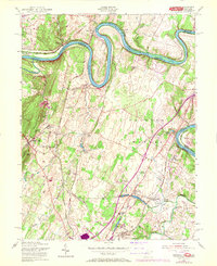
1955 Map of Hedgesville
USGS Topo · Published 1972About this map
The Potomac River carves a dramatic winding path through this region of Berkeley County, forming the boundary between Maryland and West Virginia. This 1955 survey, photorevised in 1971, captures the intricate transportation and water infrastructure that defined the borderlands. The Chesapeake and Ohio Canal parallels the river, featuring numerous numbered structures like Lock No 45 and Guard Lock near Two Locks. The landscape transitions from the river valley to the heights of North Mountain, where settlements like Hedgesville and Allensville are established near ridges such as Potato Hill.
Find a feature on this map
52 named features on this map. Tap any name to fly to it.
Don’t see what you’re looking for? This feature index may not catch every label — zoom into the map to look around manually.
Map Details
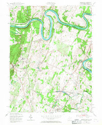
Editions of this 1955 Hedgesville Map
2 editions found
Other maps of this area

1884 · Harpers Ferry
USGS Topo · 1:125,000

1891 · Harpers Ferry
USGS Topo · 1:125,000

1893 · Harpers Ferry
USGS Topo · 1:125,000

1894 · Winchester
USGS Topo · 1:125,000

1899 · Hancock
USGS Topo · 1:62,500

1901 · Hancock
USGS Topo · 1:62,500

1912 · Williamsport
USGS Topo · 1:62,500

1914 · Martinsburg
USGS Topo · 1:48,000

1914 · Gerrardstown
USGS Topo · 1:48,000

1916 · Gerrardstown
USGS Topo · 1:62,500