
2011 Map of Hedgpeth Hills
USGS Topo · Published 2011About this map
Midwestern University stands as a central academic anchor in this densely developed area of northern Phoenix during the early 21st century. The landscape is defined by its transition from the valley floor into the prominent foothills of the Hedgpeth Hills and Ludden Mountain. Residential growth is deeply established here, mapped through a network of dozens of subdivisions like Arrowhead Ranch, Saddlehorn Ranch, and Lexington Place. The area’s hydrological character is visible in the paths of the New River and Skunk Creek, which cut through the suburban grid.
Find a feature on this map
84 named features on this map. Tap any name to fly to it.
Don’t see what you’re looking for? This feature index may not catch every label — zoom into the map to look around manually.
Map Details
Editions of this 2011 Hedgpeth Hills Map
This is the sole edition of this map. No revisions or reprints were ever made.
Other maps of this area
1954 · Phoenix
USGS Topo · 1:250,000

1957 · Phoenix
USGS Topo · 1:250,000
1957 · Calderwood Butte
USGS Topo · 1:24,000
1957 · El Mirage
USGS Topo · 1:24,000
1957 · Hedgpeth Hills
USGS Topo · 1:24,000
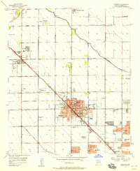
1957 · Glendale
USGS Topo · 1:24,000
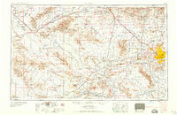
1958 · Phoenix
USGS Topo · 1:250,000

1960 · Phoenix
USGS Topo · 1:250,000
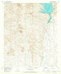
1964 · Baldy Mtn
USGS Topo · 1:24,000
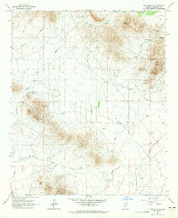
1964 · New River SE
USGS Topo · 1:24,000