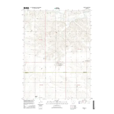
2015 Map of Hedrick
USGS Topo · Published 2015About this map
Hedrick serves as the central hub of this agricultural landscape in southeastern Iowa, where the grid of rural roads meets at the intersection of Main St and Lake St. The terrain is defined by the winding course of the South Skunk River in the north and the deep incisions of Steady Run and Sugar Cr. This area represents a well-preserved section of the Keokuk and Wapello county border, with the line running directly through rural homesteads along Wapello Keokuk Rd. For those tracing local heritage, the map is notably dense with small family or community burial grounds. From the Akerman Cem and Abel Cem in the northwest to the Deuser Cem near the eastern boundary, these landmarks provide specific points of reference for genealogical research. The small settlements of Martinsburg and Highland Center anchor the outlying corners of the quadrangle, connected by an extensive network of secondary routes like Co Rd V5H.
Find a feature on this map
47 named features on this map. Tap any name to fly to it.
Don’t see what you’re looking for? This feature index may not catch every label — zoom into the map to look around manually.
Map Details
Editions of this 2015 Hedrick Map
This is the sole edition of this map. No revisions or reprints were ever made.
Other maps of this area

1954 · Des Moines
USGS Topo · 1:250,000

1956 · Des Moines
USGS Topo · 1:250,000

1956 · Farson
USGS Topo · 1:24,000

1956 · Ottumwa North
USGS Topo · 1:62,500

1956 · Ottumwa North
USGS Topo · 1:24,000

1957 · Des Moines
USGS Topo · 1:250,000

1965 · Rose Hill
USGS Topo · 1:24,000

1965 · Sigourney
USGS Topo · 1:24,000

1965 · Delta
USGS Topo · 1:24,000

1969 · Des Moines
USGS Topo · 1:250,000