2022 Map of Hedrick
USGS Topo · Published 2022About this map
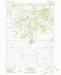
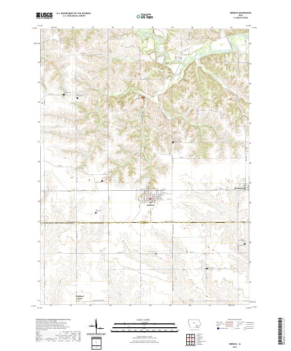
Hedrick and Martinsburg anchor this rural landscape along the border of Keokuk and Wapello counties. The northern reaches are defined by the winding course of the South Skunk River, which feeds into a network of drainages including Steady Run, Sugar Cr, and Gobbler Cr. This topographic study reveals the distribution of early settlement through a series of family-named cemeteries scattered across the townships, such as Akerman Cem, Abel Cem, and Rayburn Cem. The settlement at Highland Center sits at the southern edge of the quadrangle, connected to the larger community at Hedrick by a grid of county roads. The terrain transitions from the river bottomlands in the north to more dissected uplands drained by Competine Cr and Wolf Cr in the south, reflecting the agricultural character and drainage patterns of the Iowa prairie.
Find a feature on this map
48 named features on this map. Tap any name to fly to it.
Don’t see what you’re looking for? This feature index may not catch every label — zoom into the map to look around manually.
Map Details
Editions of this 2022 Hedrick Map
This is the sole edition of this map. No revisions or reprints were ever made.