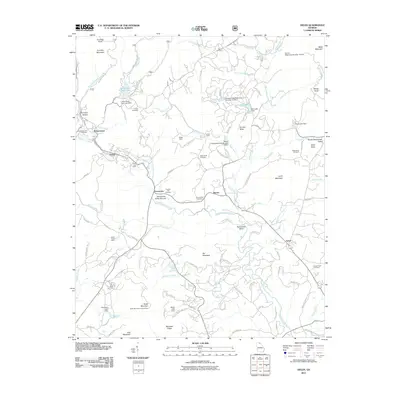
2011 Map of Helen
USGS Topo · Published 2011About this map
The Nacoochee Indian Mound serves as a central landmark in this 2011 map of the Sautee-Nacoochee Valley, where the Chattahoochee River meets Dukes Creek and Sautee Creek. This landscape is defined by its transition from the peaks of Yonah Mountain and Crumbly Mountain to the productive valley floor. Evidence of the region’s mineral history is visible through the presence of the White County Mine, Childs Mine, and Lot Ten Mine.
Find a feature on this map
105 named features on this map. Tap any name to fly to it.
Don’t see what you’re looking for? This feature index may not catch every label — zoom into the map to look around manually.
Map Details
Editions of this 2011 Helen Map
This is the sole edition of this map. No revisions or reprints were ever made.
Other maps of this area

1886 · Dahlonega
USGS Topo · 1:125,000

1892 · Dahlonega
USGS Topo · 1:125,000

1896 · Dahlonega
USGS Topo · 1:125,000

1903 · Dahlonega
USGS Topo · 1:125,000

1935 · Cowrock
USGS Topo · 1:24,000

1935 · Tray Mountain
USGS Topo · 1:24,000

1935 · Jacks Gap
USGS Topo · 1:24,000

1938 · Cowrock
USGS Topo · 1:24,000
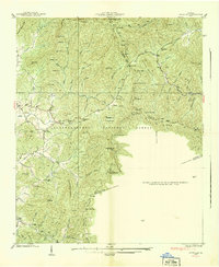
1938 · Jacks Gap
USGS Topo · 1:24,000
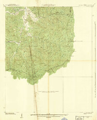
1938 · Tray Mountain
USGS Topo · 1:24,000