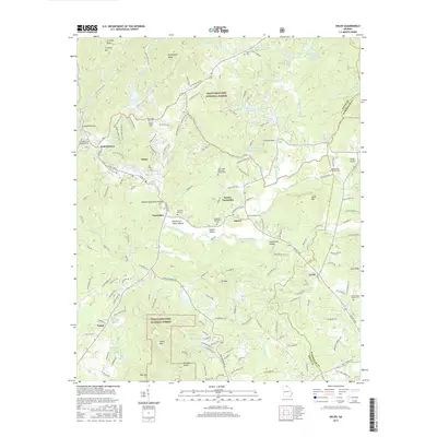
2017 Map of Helen
USGS Topo · Published 2017About this map
Helen's alpine-themed street names like Wilfar Strasse, Zeppelin Strasse, and Bahn Innsbruck stand out as a distinct cultural landscape along the Chattahoochee River. This 2017 survey details the transition from the village to the fertile Nacoochee Valley, where the Nacoochee Indian Mound remains a prominent archaeological landmark. The map documents numerous historic community sites, including Crescent Hill Cem and Nacoochee Methodist Cem, alongside the residential growth of Sautee-Nacoochee.
Find a feature on this map
171 named features on this map. Tap any name to fly to it.
Don’t see what you’re looking for? This feature index may not catch every label — zoom into the map to look around manually.
Map Details
Editions of this 2017 Helen Map
This is the sole edition of this map. No revisions or reprints were ever made.
Other maps of this area

1886 · Dahlonega
USGS Topo · 1:125,000

1892 · Dahlonega
USGS Topo · 1:125,000

1896 · Dahlonega
USGS Topo · 1:125,000

1903 · Dahlonega
USGS Topo · 1:125,000

1935 · Cowrock
USGS Topo · 1:24,000

1935 · Tray Mountain
USGS Topo · 1:24,000

1935 · Jacks Gap
USGS Topo · 1:24,000

1938 · Cowrock
USGS Topo · 1:24,000
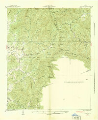
1938 · Jacks Gap
USGS Topo · 1:24,000
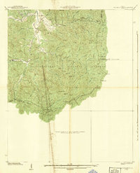
1938 · Tray Mountain
USGS Topo · 1:24,000