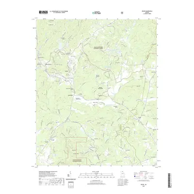
2020 Map of Helen
USGS Topo · Published 2020About this map
The Nacoochee Indian Mound serves as a prominent landmark in the Sautee Valley, anchoring a landscape where the Chattahoochee River meets Dukes Creek. In this corner of White County, the town of Helen displays its unique street names like Edelweiss Strasse and Chattahoochee Strasse, reflecting the community's distinct architectural identity. The surrounding terrain is dominated by the heights of Yonah Mountain and Crumbly Mountain, while the valleys are dotted with historic religious sites including the Union Baptist Church Cemetery and Nacoochee Methodist Cemetery. This map records a complex network of forest roads and trails within the Chattahoochee National Forest, such as the Smith Creek Trail and Unicoi Turnpike, which trace the same paths used by generations of travelers through the Blue Ridge foothills.
Find a feature on this map
179 named features on this map. Tap any name to fly to it.
Don’t see what you’re looking for? This feature index may not catch every label — zoom into the map to look around manually.
Map Details
Editions of this 2020 Helen Map
This is the sole edition of this map. No revisions or reprints were ever made.
Other maps of this area

1886 · Dahlonega
USGS Topo · 1:125,000

1892 · Dahlonega
USGS Topo · 1:125,000

1896 · Dahlonega
USGS Topo · 1:125,000

1903 · Dahlonega
USGS Topo · 1:125,000

1935 · Cowrock
USGS Topo · 1:24,000

1935 · Tray Mountain
USGS Topo · 1:24,000

1935 · Jacks Gap
USGS Topo · 1:24,000

1938 · Cowrock
USGS Topo · 1:24,000
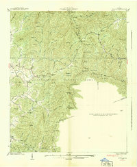
1938 · Jacks Gap
USGS Topo · 1:24,000
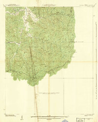
1938 · Tray Mountain
USGS Topo · 1:24,000