Loading...
Loading map...2023 Map of Helena
USGS Topo · Published 2023About this map
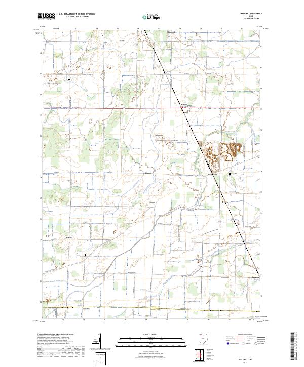
Gibsonburg and Helena anchor a landscape defined by organized agricultural drainage and small rural settlements in Sandusky County. The map details an intricate network of waterways designed to manage the flat terrain, including Muddy Creek, Gries Ditch, and Flechtner Ditch. These waterways weave between established town sites such as Millersville and Tinney, while the southern edge touches Burgoon near the Seneca Co Line Rd.
Find a feature on this map
46 named features on this map. Tap any name to fly to it.
Don’t see what you’re looking for? This feature index may not catch every label — zoom into the map to look around manually.
Map Details
Date Portrayed2023
Date Published2023
PublisherU.S. Geological Survey
Map TypeTopographic
Scale1:24000
Physical Dimensions24 x 29 inches
Editions of this 2023 Helena Map
This is the sole edition of this map. No revisions or reprints were ever made.
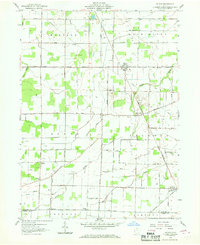
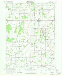
Historical Maps of Millersville Through Time
3 maps found
Featured Locations
Source Details
SourceU.S. Geological Survey
CopyrightPublic Domain