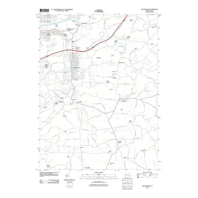
2010 Map of Hellertown
USGS Topo · Published 2010About this map
Hellertown and the surrounding townships of Lower Saucon and Springfield are defined by the winding course of Saucon Creek and the historical industrial infrastructure of the Lehigh Valley. The borough's layout is bordered by landmarks like the Hellertown Union Cemetery and the waters of the Hellertown Reservoir. Further north, South Bethlehem and Northampton Heights sit along the Lehigh River, where the remains of the Lehigh Coal and Navigation Canal trace the legacy of regional transport.
Find a feature on this map
137 named features on this map. Tap any name to fly to it.
Don’t see what you’re looking for? This feature index may not catch every label — zoom into the map to look around manually.
Map Details
Editions of this 2010 Hellertown Map
This is the sole edition of this map. No revisions or reprints were ever made.
Other maps of this area

1888 · Quakertown
USGS Topo · 1:62,500

1890 · Easton
USGS Topo · 1:62,500

1890 · Doylestown
USGS Topo · 1:62,500

1890 · Quakertown
USGS Topo · 1:62,500

1891 · Easton
USGS Topo · 1:62,500

1891 · Doylestown
USGS Topo · 1:62,500

1894 · Allentown
USGS Topo · 1:62,500

1894 · Quakertown
USGS Topo · 1:62,500

1932 · Easton
USGS Topo · 1:62,500

1939 · Allentown
USGS Topo · 1:62,500