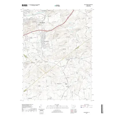
2019 Map of Hellertown
USGS Topo · Published 2019About this map
Bethlehem and its southern suburbs occupy a landscape defined by the winding Saucon Creek and the historical infrastructure of the Lehigh Coal and Navigation Canal. The map reveals the transition from the industrial valley of the Lehigh River to the residential and institutional developments of Hellertown, including the sprawling Lehigh University - Murray H Goodman Campus. Local heritage is anchored by numerous cemeteries and small rural meetinghouses, such as the Springfield Mennonite Meetinghouse and Cem, which dot the terrain between ridges like Green Hill and Granite Hill. Southward, the landscape shifts toward the small settlements of Springtown and Pleasant Valley, where agricultural patterns persist near Cooks Cr. This 2019 survey documents a region where modern transportation corridors like I-78 intersect with long-standing landmarks, including the Knechts Bridge and the Minsi Trail Bridge.
Find a feature on this map
75 named features on this map. Tap any name to fly to it.
Don’t see what you’re looking for? This feature index may not catch every label — zoom into the map to look around manually.
Map Details
Editions of this 2019 Hellertown Map
This is the sole edition of this map. No revisions or reprints were ever made.
Other maps of this area

1888 · Quakertown
USGS Topo · 1:62,500

1890 · Easton
USGS Topo · 1:62,500

1890 · Doylestown
USGS Topo · 1:62,500

1890 · Quakertown
USGS Topo · 1:62,500

1891 · Easton
USGS Topo · 1:62,500

1891 · Doylestown
USGS Topo · 1:62,500

1894 · Allentown
USGS Topo · 1:62,500

1894 · Quakertown
USGS Topo · 1:62,500

1932 · Easton
USGS Topo · 1:62,500

1939 · Allentown
USGS Topo · 1:62,500