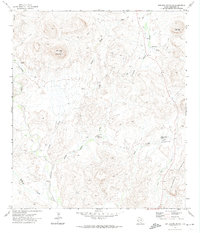
1971 Map of Hen Egg Mountain
USGS Topo · Published 1974About this map
Hen Egg Mountain and the surrounding high desert of Brewster County are defined here by a network of drainage systems and isolated outposts in the early 1970s. The landscape is carved by Terlingua Creek and several major draws, including Adobe Walls Draw and Steep Draw, which reveal a terrain where water sources like Paynes Waterhole and Ward Spring were essential for survival. Human presence is sparse, marked by the 3 Bar Ranch and Crenshaw Camp, along with a lone Landing Strip near Yellow Jacket Spring. These features, connected primarily by a web of Jeep Trails, illustrate the remote cattle-ranching and survival infrastructure required in this arid portion of West Texas before modern development arrived.
Find a feature on this map
20 named features on this map. Tap any name to fly to it.
Don’t see what you’re looking for? This feature index may not catch every label — zoom into the map to look around manually.
Map Details
Editions of this 1971 Hen Egg Mountain Map
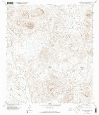
2 editions found
Other maps of this area

1903 · Chisos Mountains
USGS Topo · 1:125,000

1903 · Terlingua
USGS Topo · 1:125,000

1904 · Terlingua
USGS Topo · 1:125,000

1905 · Chisos Mountains
USGS Topo · 1:125,000

1917 · Agua Fria
USGS Topo · 1:62,500

1918 · Bone Spring
USGS Topo · 1:125,000

1918 · Nine Point Mesa
USGS Topo · 1:62,500

1937 · Nine Point Mesa
USGS Topo · 1:62,500

1937 · Agua Fria
USGS Topo · 1:62,500

1959 · Emory Peak
USGS Topo · 1:250,000