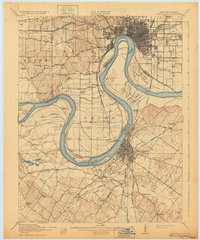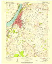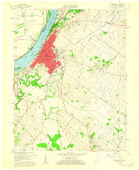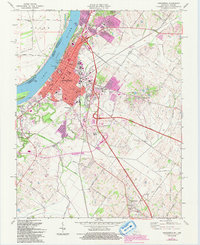
2022 Map of Henderson
USGS Topo · Published 2022About this map
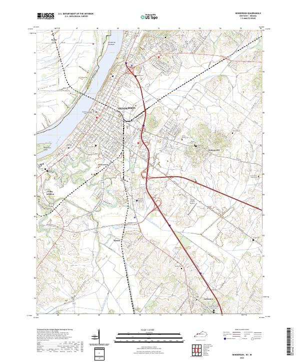
The Ohio River shapes the geography of this Henderson County region, where the urban center of Henderson sits along the southern bank. A complex network of drainage ditches and creeks, including Canoe Creek and Sellers Ditch, defines the low-lying terrain surrounding the city. The landscape is marked by a high density of burial sites and family plots, from the large Roselawn Memorial Gardens and Fernwood Cemetery to the smaller, more personal Larkin White Family Cemetery and Pauper Cemetery.
Find a feature on this map
173 named features on this map. Tap any name to fly to it.
Don’t see what you’re looking for? This feature index may not catch every label — zoom into the map to look around manually.
Map Details
Editions of this 2022 Henderson Map
This is the sole edition of this map. No revisions or reprints were ever made.
Historical Maps of Rahm Through Time
6 maps found