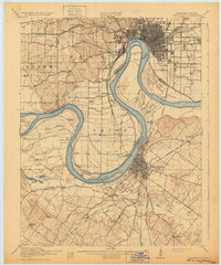
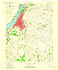
1916 Map of Henderson
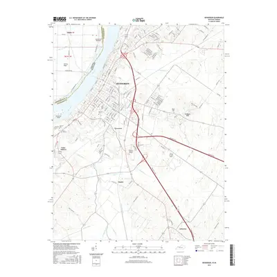
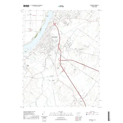
USGS Topo · Published 1932About this map
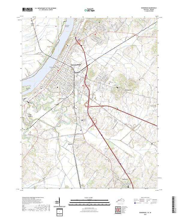
The Ohio River dominates this landscape, carving a massive serpentine path that separates Indiana from Kentucky. Along this vital waterway, the city of Evansville sits at the north, while Henderson anchors the south, connected by the Louisville and Nashville RR and a network of early transit like the Car Ferry. The river's influence is clear in the complex system of backwaters and drainage, such as Cypress Bend and Alzey Brushy Slough, alongside major maritime infrastructure like Lock and Dam No 48.
Find a feature on this map
100 named features on this map. Tap any name to fly to it.
Don’t see what you’re looking for? This feature index may not catch every label — zoom into the map to look around manually.
Map Details
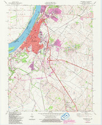
Editions of this 1916 Henderson Map
3 editions found
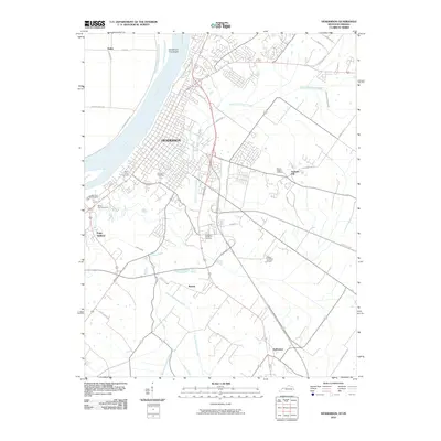
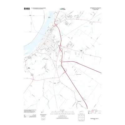
Historical Maps of Evansville Through Time
10 maps found

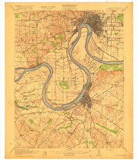
1914 Henderson
Henderson County, KY
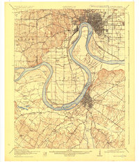
1916 Henderson
Henderson County, KY
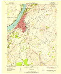
1952 Henderson
Henderson County, KY
1959 Henderson
Henderson County, KY
1971 Henderson
Henderson County, KY
2010 Henderson
Henderson County, KY
2013 Henderson
Henderson County, KY
2016 Henderson
Henderson County, KY
2019 Henderson
Henderson County, KY
2022 Henderson
Henderson County, KY