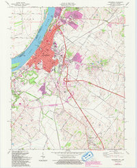
1971 Map of Henderson
USGS Topo · Published 1993About this map
Henderson occupies a prominent bend of the Ohio River in this detailed look at Kentucky’s riverfront history. The town's grid is anchored by civic staples like the Courthouse and City Hall, while residential growth is visible in the Finley Addition and the nearby community of Weaverton. The landscape is defined by the sweeping course of Canoe Creek and the protective acreage of Audubon State Park to the north. Transportation and industry are central to the area’s identity, with the Louisville and Nashville RR cutting through the terrain and numerous oil wells dotting the outskirts. Genealogists will find a wealth of records in the cluster of cemeteries south of the city, including Fernwood Cemetery and St Louis Cem, while local landmarks like Barrett Stadium and Holy Name Sch offer a glimpse into the community's social fabric during the mid-to-late 20th century.
Find a feature on this map
63 named features on this map. Tap any name to fly to it.
Don’t see what you’re looking for? This feature index may not catch every label — zoom into the map to look around manually.
Map Details
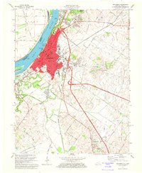
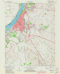
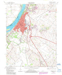
Editions of this 1971 Henderson Map
4 editions found
Other maps of this area

1905 · Newburg
USGS Topo · 1:62,500

1906 · Sebree
USGS Topo · 1:62,500

1908 · Calhoun
USGS Topo · 1:62,500

1914 · Henderson
USGS Topo · 1:48,000

1916 · Henderson
USGS Topo · 1:62,500

1949 · Poole
USGS Topo · 1:24,000

1949 · Robards
USGS Topo · 1:24,000

1951 · Poole
USGS Topo · 1:24,000

1951 · Robards
USGS Topo · 1:24,000

1951 · Spottsville
USGS Topo · 1:24,000