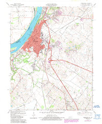
1971 Map of Henderson
USGS Topo · Published 1989About this map
The Ohio River waterfront at Henderson anchors this detailed study of the river port and its inland expansion. The urban core is clearly defined by its historic civic grid, featuring the Courthouse, City Hall, and Barrett Stadium, while the southern reaches of the city extend through Weaverton toward the newer Finley Addition. A dense network of educational and spiritual landmarks, such as Holy Name Sch and Sanderfur Training Sch, reflects the community's mid-century development.
Find a feature on this map
49 named features on this map. Tap any name to fly to it.
Don’t see what you’re looking for? This feature index may not catch every label — zoom into the map to look around manually.
Map Details
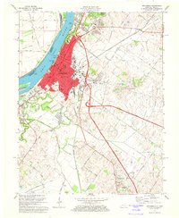
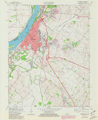
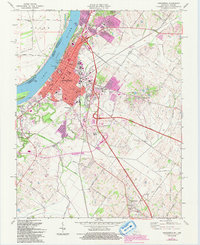
Editions of this 1971 Henderson Map
4 editions found
Other maps of this area

1905 · Newburg
USGS Topo · 1:62,500

1906 · Sebree
USGS Topo · 1:62,500

1908 · Calhoun
USGS Topo · 1:62,500

1914 · Henderson
USGS Topo · 1:48,000

1916 · Henderson
USGS Topo · 1:62,500

1949 · Poole
USGS Topo · 1:24,000

1949 · Robards
USGS Topo · 1:24,000

1951 · Poole
USGS Topo · 1:24,000

1951 · Robards
USGS Topo · 1:24,000

1951 · Spottsville
USGS Topo · 1:24,000