Loading...
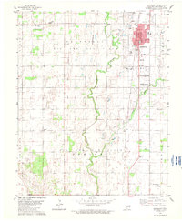
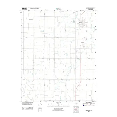
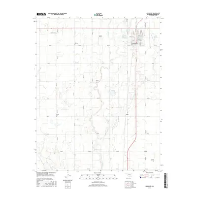
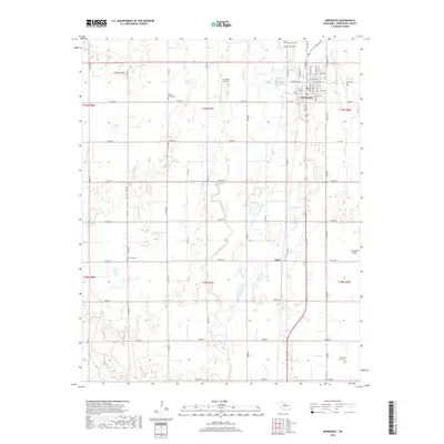
Loading map...1982 Map of Hennessey
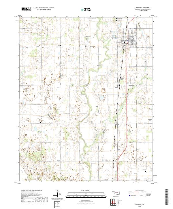
USGS Topo · Published 1983About this map
The Hennessey Oil and Gas Field dominates this 1980s landscape in Kingfisher County, revealing a complex network of energy infrastructure integrated with agricultural land. The town of Hennessey serves as the central hub, situated along the Chicago Rock Island and Pacific railroad line. The map captures the industrial character of the era through numerous radio towers, a Gas Processing Plant, and scattered gravel pits.
Find a feature on this map
33 named features on this map. Tap any name to fly to it.
Don’t see what you’re looking for? This feature index may not catch every label — zoom into the map to look around manually.
Map Details
Date Portrayed1982
Date Published1983
PublisherU.S. Geological Survey
Map TypeTopographic
Scale1:24,000
Physical Dimensions22.4 x 27.3 inches
Editions of this 1982 Hennessey Map
This is the sole edition of this map. No revisions or reprints were ever made.
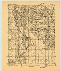
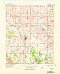
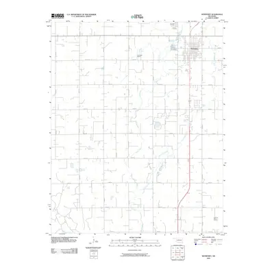
Historical Maps of Hennessey Through Time
8 maps found
Featured Locations
Source Details
SourceU.S. Geological Survey
CopyrightPublic Domain