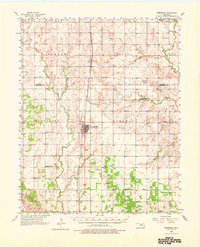
1956 Map of Hennessey
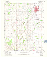
USGS Topo · Published 1976About this map
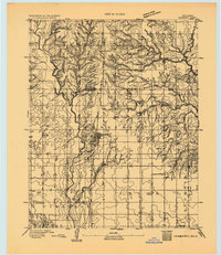
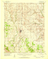
Hennessey serves as the central hub of this agricultural landscape in the mid-1950s, bisected by the Chicago Rock Island and Pacific railroad. This corridor connects the town to northern settlements like Bison and smaller stops including Jacks. The surrounding terrain is a network of named townships such as Sherman, Osborn, and Columbia, where the rural social fabric is preserved through numerous country churches and cemeteries. Notable landmarks include the Maple Grove Ch, Union Chapel, and the Lyon Valley Sch (Abandoned), alongside more curious topographical labels like Hell and Gone Creek. The drainage patterns of Turkey Creek and Skeleton Creek define the local topography, while industrial activity is noted at the Shale Pits near the eastern boundary. This survey offers a precise look at the homesteads and section lines of the Garfield and Kingfisher County border before later 20th-century consolidation.
Find a feature on this map
44 named features on this map. Tap any name to fly to it.
Don’t see what you’re looking for? This feature index may not catch every label — zoom into the map to look around manually.
Map Details
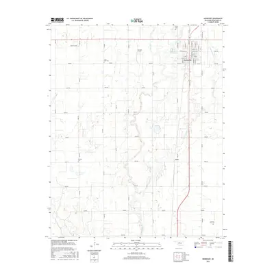
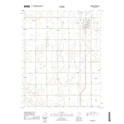
Editions of this 1956 Hennessey Map
2 editions found
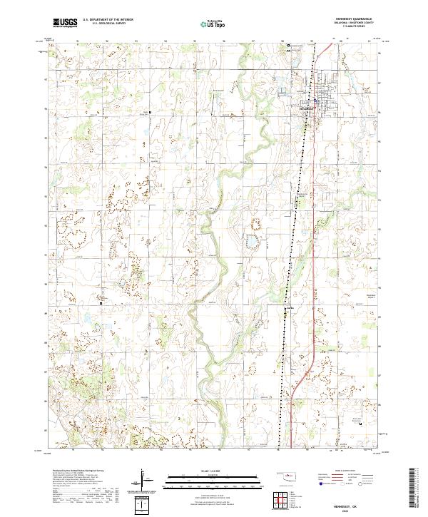
Historical Maps of Hennessey Through Time
8 maps found