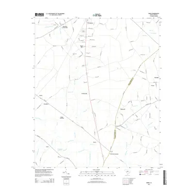
2014 Map of Henry
USGS Topo · Published 2014About this map
Hemingway anchors the northern reaches of this coastal plain landscape, where the agricultural and timbered lands of Williamsburg and Georgetown counties converge. The geography is defined by a complex network of wetlands and drainage systems, including the expansive Indiantown Swamp, Soccee Swamp, and Burnett Swamp. These lowlands dictated the placement of early settlements and crossroads, with many communities and landmarks situated on slightly higher ground along the drainage divides.
Find a feature on this map
121 named features on this map. Tap any name to fly to it.
Don’t see what you’re looking for? This feature index may not catch every label — zoom into the map to look around manually.
Map Details
Editions of this 2014 Henry Map
This is the sole edition of this map. No revisions or reprints were ever made.
Other maps of this area

1943 · Henry
USGS Topo · 1:24,000

1943 · Carvers Bay
USGS Topo · 1:24,000

1943 · Rhems
USGS Topo · 1:24,000

1943 · Outland
USGS Topo · 1:24,000

1944 · Outland
USGS Topo · 1:31,680

1946 · Hyman
USGS Topo · 1:62,500

1946 · Johnsonville
USGS Topo · 1:62,500

1946 · Indiantown
USGS Topo · 1:62,500

1949 · Georgetown
USGS Topo · 1:250,000

1967 · Georgetown
USGS Topo · 1:250,000