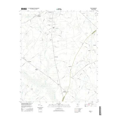
2017 Map of Henry
USGS Topo · Published 2017About this map
Black Mingo Creek and Indiantown Swamp define the low-lying drainage of this South Carolina landscape, where the border of Williamsburg and Georgetown counties meets. This 2017 survey details a rural region anchored by Hemingway at the northern edge and Rome to the south. The map provides a clear picture of the modern road network, including Co Line Rd and Tupperware Rd, which connect several small, traditional settlements such as Brunson Crossroads, Gordonville, and Snow Junction. Genealogists will find significant value in the placement of local burial grounds like Union Cem, Poplar Hill Cem, and Harmon Cem. Smaller water features like Brockington Pond and Caney Br reflect the intricate wetland ecology of the South Carolina coastal plain as it appears in the early 21st century.
Find a feature on this map
114 named features on this map. Tap any name to fly to it.
Don’t see what you’re looking for? This feature index may not catch every label — zoom into the map to look around manually.
Map Details
Editions of this 2017 Henry Map
This is the sole edition of this map. No revisions or reprints were ever made.
Other maps of this area

1943 · Henry
USGS Topo · 1:24,000

1943 · Carvers Bay
USGS Topo · 1:24,000

1943 · Rhems
USGS Topo · 1:24,000

1943 · Outland
USGS Topo · 1:24,000

1944 · Outland
USGS Topo · 1:31,680

1946 · Hyman
USGS Topo · 1:62,500

1946 · Johnsonville
USGS Topo · 1:62,500

1946 · Indiantown
USGS Topo · 1:62,500

1949 · Georgetown
USGS Topo · 1:250,000

1967 · Georgetown
USGS Topo · 1:250,000