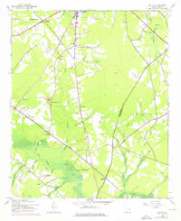
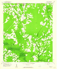
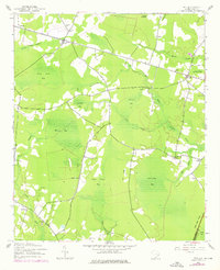
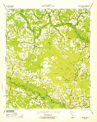
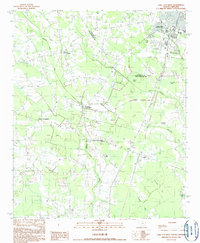
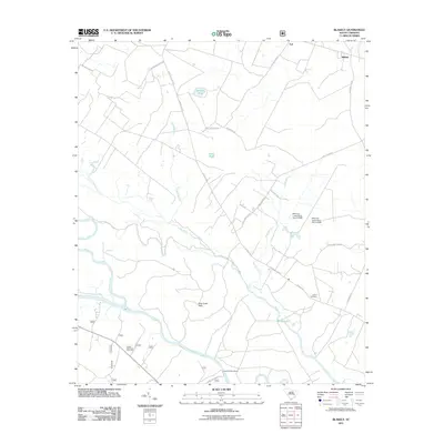
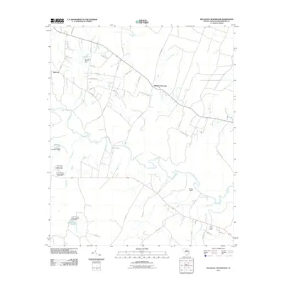
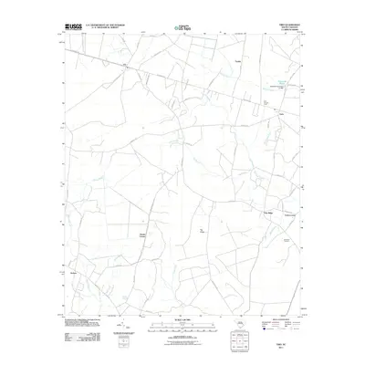
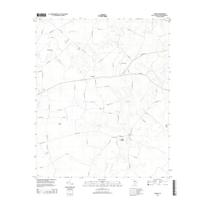
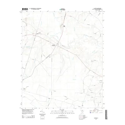
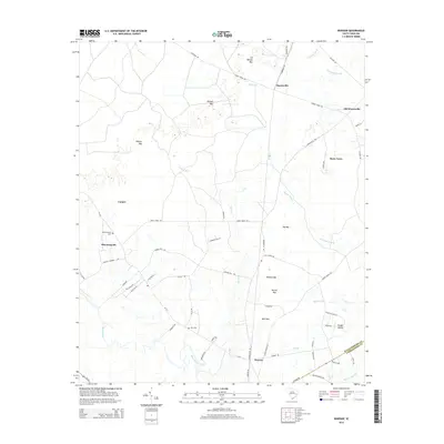
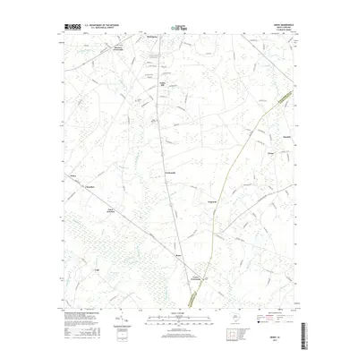
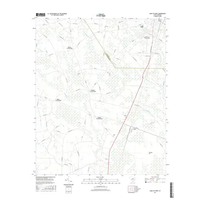
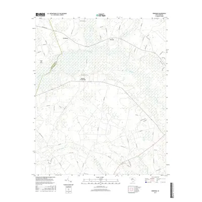
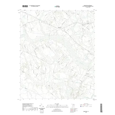
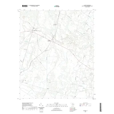
1943 Map of Henry
USGS Topo · Published 1976About this map
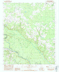
Black Mingo Creek and its complex network of tributaries, including Campbell Swamp and Sneeze Swamp, dominate this mid-century landscape on the border of Williamsburg and Georgetown Counties. Originally surveyed in 1943, this record documents a rural South Carolina economy deeply tied to the Seaboard Coast Line railroad. This rail corridor connects small transit points and crossroads such as Henry, Snow Junction, and Hemingway.
Find a feature on this map
39 named features on this map. Tap any name to fly to it.
Don’t see what you’re looking for? This feature index may not catch every label — zoom into the map to look around manually.
Map Details
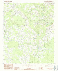
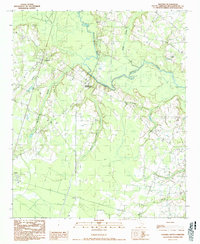
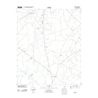
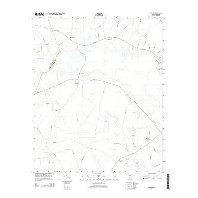
Editions of this 1943 Henry Map
2 editions found
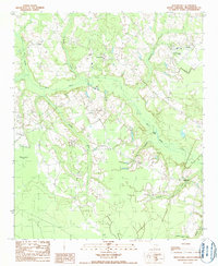
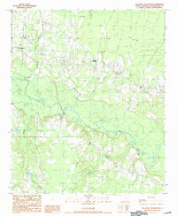
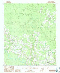
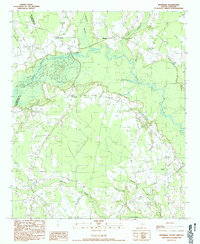
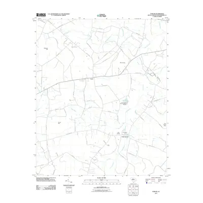
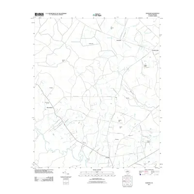
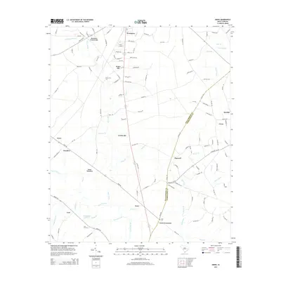
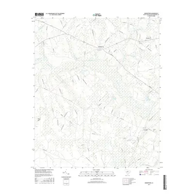
Historical Maps of Hemingway Through Time
67 maps found
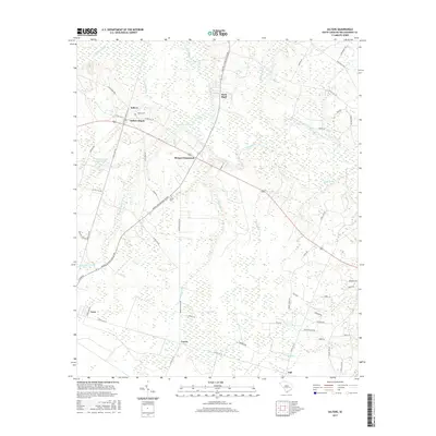
1943 Henry
Williamsburg County, SC
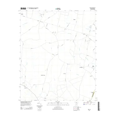
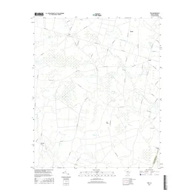
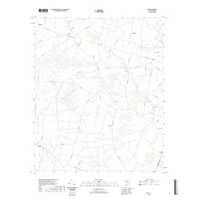
1943 Trio
Williamsburg County, SC
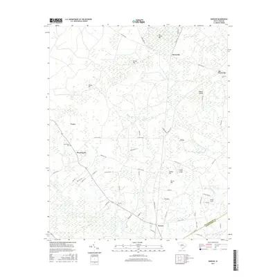
1946 Indiantown
Williamsburg County, SC
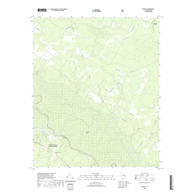
1990 Blakely
Williamsburg County, SC
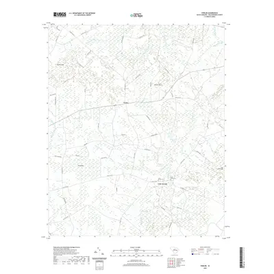
1990 Fowler
Williamsburg County, SC
1990 Indiantown
Williamsburg County, SC
1990 Kellehan Crossroads
Williamsburg County, SC

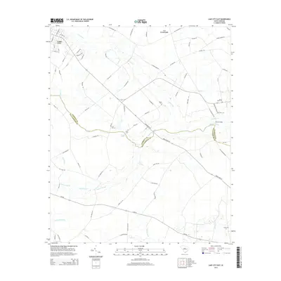
1990 Lake City East
Williamsburg County, SC
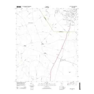
1990 Lake City West
Williamsburg County, SC
1990 Salters
Williamsburg County, SC
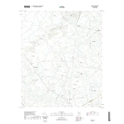
1990 Warsaw
Williamsburg County, SC
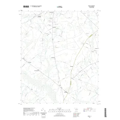
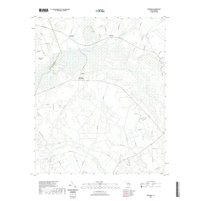
1990 Workman
Williamsburg County, SC
2011 Blakely
Williamsburg County, SC
2011 Fowler
Williamsburg County, SC
2011 Henry
Williamsburg County, SC
2011 Indiantown
Williamsburg County, SC
2011 Kellehan Crossroads
Williamsburg County, SC
2011 Lake City East
Williamsburg County, SC
2011 Lake City West
Williamsburg County, SC
2011 Salters
Williamsburg County, SC
2011 Trio
Williamsburg County, SC
2011 Warsaw
Williamsburg County, SC
2011 Workman
Williamsburg County, SC
2014 Blakely
Williamsburg County, SC
2014 Fowler
Williamsburg County, SC
2014 Henry
Williamsburg County, SC
2014 Indiantown
Williamsburg County, SC
2014 Kellehan Crossroads
Williamsburg County, SC
2014 Lake City East
Williamsburg County, SC
2014 Lake City West
Williamsburg County, SC
2014 Salters
Williamsburg County, SC
2014 Trio
Williamsburg County, SC
2014 Warsaw
Williamsburg County, SC
2014 Workman
Williamsburg County, SC
2017 Blakely
Williamsburg County, SC
2017 Fowler
Williamsburg County, SC
2017 Henry
Williamsburg County, SC
2017 Indiantown
Williamsburg County, SC
2017 Kellehan Crossroads
Williamsburg County, SC
2017 Lake City East
Williamsburg County, SC
2017 Lake City West
Williamsburg County, SC
2017 Salters
Williamsburg County, SC
2017 Trio
Williamsburg County, SC
2017 Warsaw
Williamsburg County, SC
2017 Workman
Williamsburg County, SC
2020 Blakely
Williamsburg County, SC
2020 Fowler
Williamsburg County, SC
2020 Henry
Williamsburg County, SC
2020 Indiantown
Williamsburg County, SC
2020 Kellehan Crossroads
Williamsburg County, SC
2020 Lake City East
Williamsburg County, SC
2020 Lake City West
Williamsburg County, SC
2020 Salters
Williamsburg County, SC
2020 Trio
Williamsburg County, SC
2020 Warsaw
Williamsburg County, SC
2020 Workman
Williamsburg County, SC
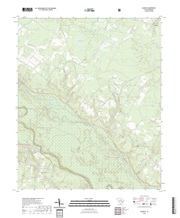
2024 Blakely
Williamsburg County, SC
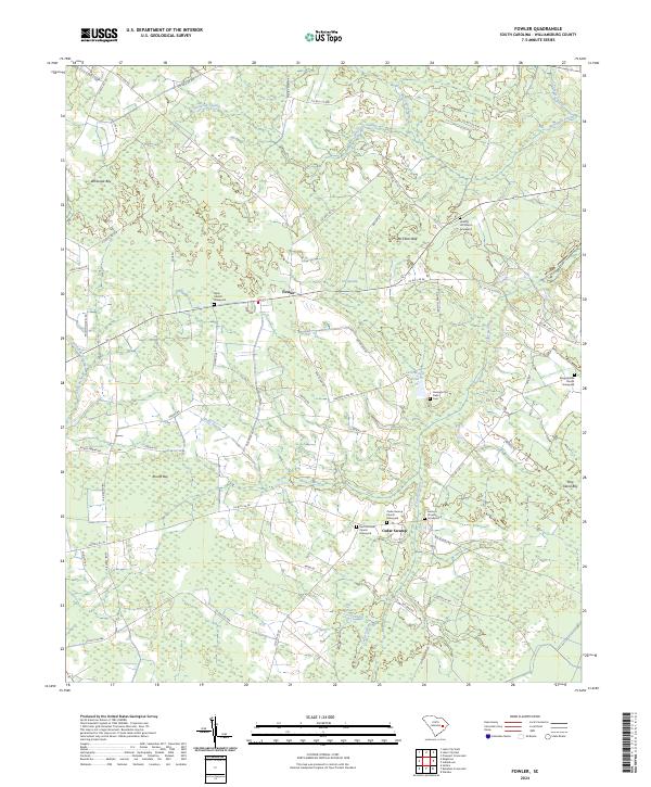
2024 Fowler
Williamsburg County, SC
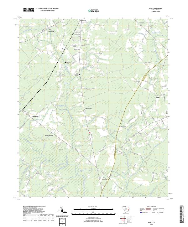
2024 Henry
Williamsburg County, SC
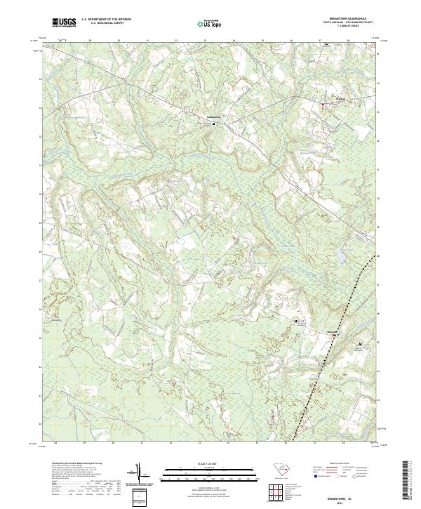
2024 Indiantown
Williamsburg County, SC
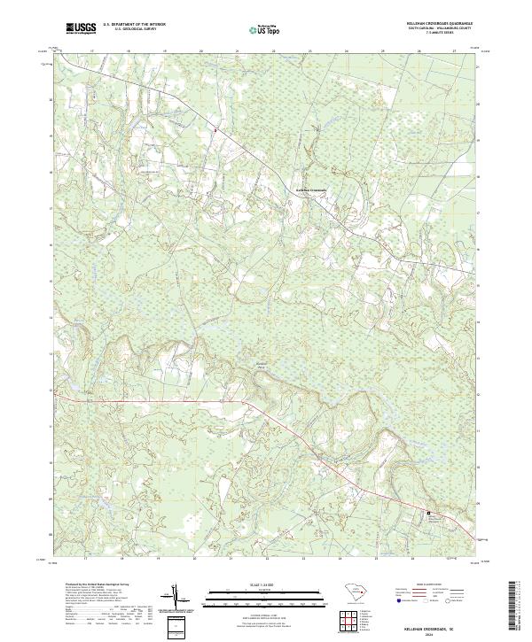
2024 Kellehan Crossroads
Williamsburg County, SC
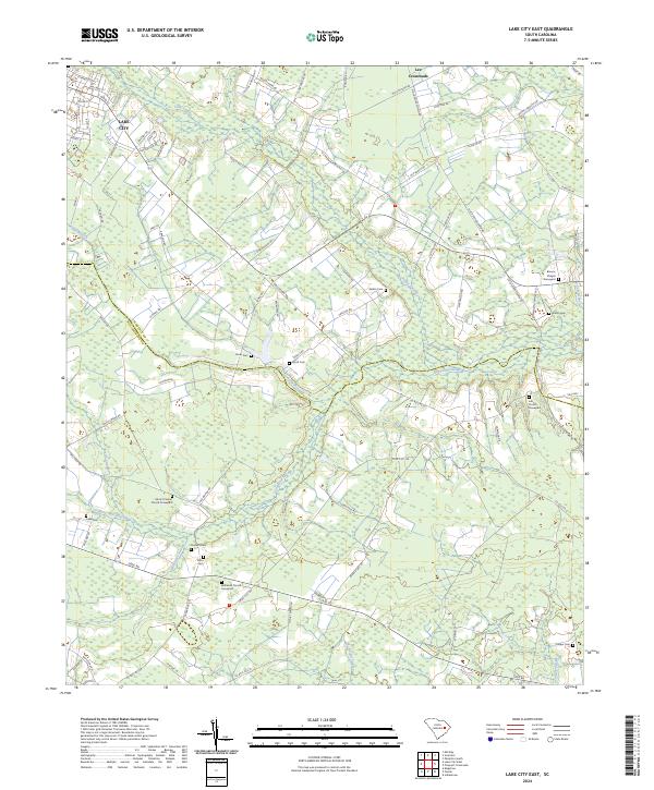
2024 Lake City East
Williamsburg County, SC
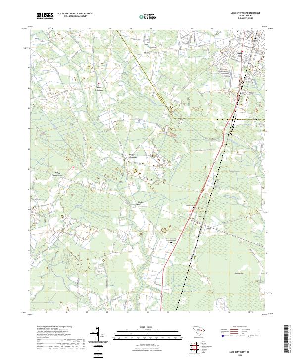
2024 Lake City West
Williamsburg County, SC
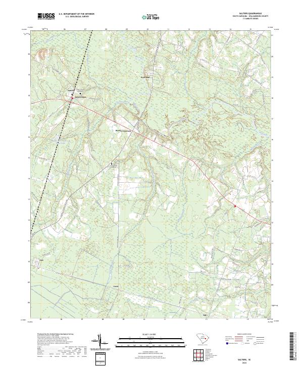
2024 Salters
Williamsburg County, SC
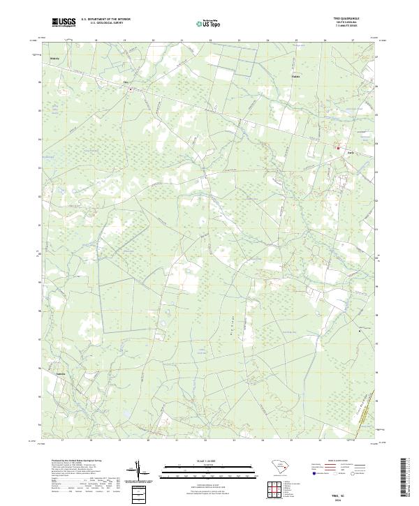
2024 Trio
Williamsburg County, SC
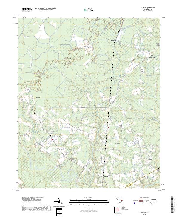
2024 Warsaw
Williamsburg County, SC
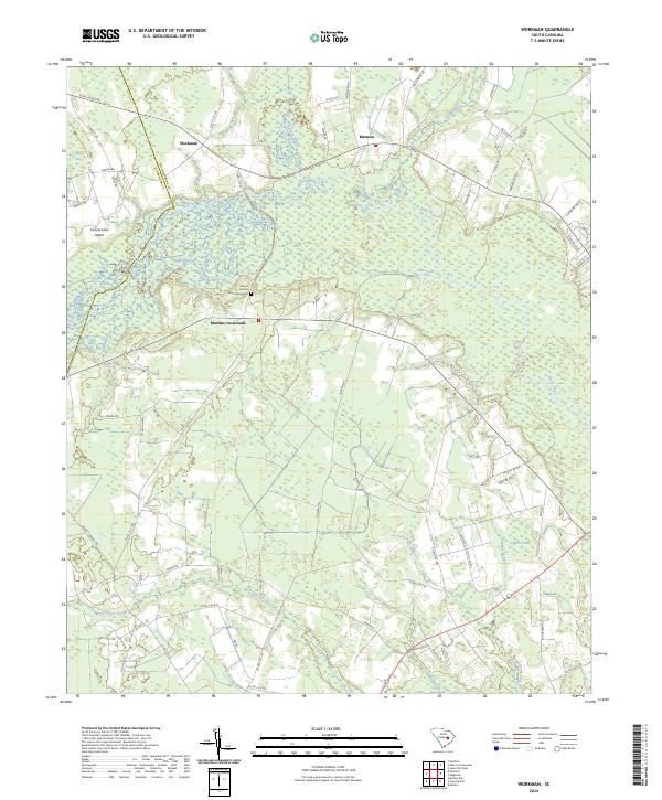
2024 Workman
Williamsburg County, SC