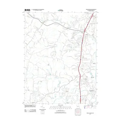
2012 Map of Herculaneum
USGS Topo · Published 2012About this map
Herculaneum and the surrounding Jefferson County landscape are defined by the convergence of several waterways as they meet the Mississippi River. This eastern Missouri survey documents a network of small communities including Imperial, Barnhart, and Pevely, linked by the prominent corridor of Metropolitan Blvd. The area exhibits a mix of residential development and traditional institutional landmarks, such as the Imperial Post Office and the Abbey Monastery Rd leading toward the riverbank.
Find a feature on this map
36 named features on this map. Tap any name to fly to it.
Don’t see what you’re looking for? This feature index may not catch every label — zoom into the map to look around manually.
Map Details
Editions of this 2012 Herculaneum Map
This is the sole edition of this map. No revisions or reprints were ever made.
Other maps of this area

1901 · De Soto
USGS Topo · 1:125,000

1912 · Kimmswick
USGS Topo · 1:62,500

1915 · Crystal City
USGS Topo · 1:62,500

1916 · Kimmswick
USGS Topo · 1:62,500

1930 · De Soto NE
USGS Topo · 1:24,000

1930 · Pacific SE
USGS Topo · 1:24,000

1931 · Pacific NE
USGS Topo · 1:24,000

1948 · Kimmswick
USGS Topo · 1:62,500

1949 · Saint Louis
USGS Topo · 1:250,000

1949 · Crystal City
USGS Topo · 1:62,500