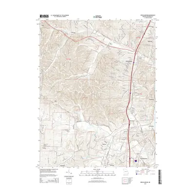
2015 Map of Herculaneum
USGS Topo · Published 2015About this map
Mississippi River frontage and the winding course of Joachim Creek define the eastern edge of this Jefferson County landscape. The corridor shows the clustered growth of Herculaneum and Pevely, where transportation routes like Commercial Blvd and W 2nd St intersect with legacy roads such as Old Lemay Ferry Rd. Genealogists will find several significant burial grounds documented, including Assumption Cemetery, Emmanuel Cemetery, and the Zion Lutheran Church Cemetery near Jarvis. The terrain transitions from the river lowlands toward the interior elevations of Sand Ridge and the communities of Antonia and Otto. Water features like Pevely Lake, Indian Foot Lake, and Lake Horine are scattered across the township, illustrating the complex hydrology surrounding these riverside settlements during the mid-2010s.
Find a feature on this map
55 named features on this map. Tap any name to fly to it.
Don’t see what you’re looking for? This feature index may not catch every label — zoom into the map to look around manually.
Map Details
Editions of this 2015 Herculaneum Map
This is the sole edition of this map. No revisions or reprints were ever made.
Other maps of this area
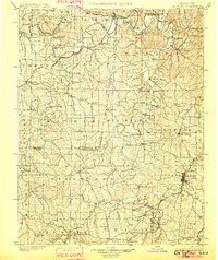
1901 · De Soto
USGS Topo · 1:125,000
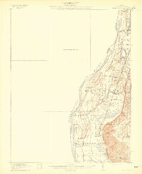
1912 · Kimmswick
USGS Topo · 1:62,500
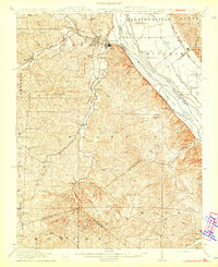
1915 · Crystal City
USGS Topo · 1:62,500
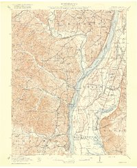
1916 · Kimmswick
USGS Topo · 1:62,500
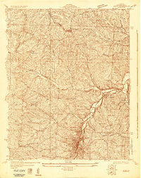
1930 · De Soto NE
USGS Topo · 1:24,000
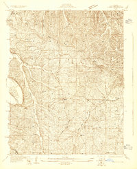
1930 · Pacific SE
USGS Topo · 1:24,000
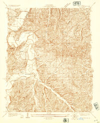
1931 · Pacific NE
USGS Topo · 1:24,000
1948 · Kimmswick
USGS Topo · 1:62,500
1949 · Saint Louis
USGS Topo · 1:250,000
1949 · Crystal City
USGS Topo · 1:62,500