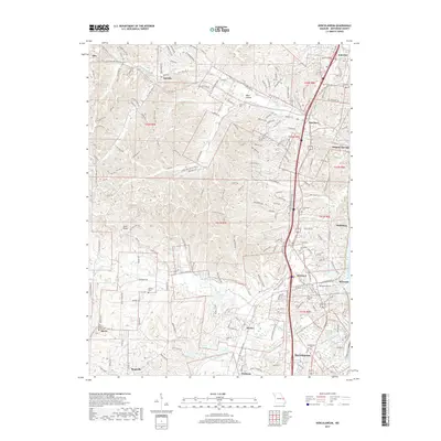
2017 Map of Herculaneum
USGS Topo · Published 2017About this map
Mississippi River frontage and the winding course of Joachim Creek define this portion of Jefferson County, where the historic lead-smelting legacy of Herculaneum meets the expanding residential corridors of Pevely and Barnhart. The landscape is a transition from the river bottomlands to the interior ridges, marked by a dense concentration of cemeteries like Mahlers Cem and Assumption Cem that serve as vital markers for local genealogical research. In the western reaches, smaller communities like Jarvis and Antonia sit near the headwaters of Sandy Creek, while the presence of Zion Lutheran Church reflects the area's long-standing denominational roots. The infrastructure reveals a shift toward modern accessibility, yet the names of older crossroads like Sulphur Springs and Bushburg persist along the river bluffs, preserving the memory of the early landings and rail stops that once fueled the local economy.
Find a feature on this map
194 named features on this map. Tap any name to fly to it.
Don’t see what you’re looking for? This feature index may not catch every label — zoom into the map to look around manually.
Map Details
Editions of this 2017 Herculaneum Map
This is the sole edition of this map. No revisions or reprints were ever made.
Other maps of this area
1901 · De Soto
USGS Topo · 1:125,000
1912 · Kimmswick
USGS Topo · 1:62,500
1915 · Crystal City
USGS Topo · 1:62,500
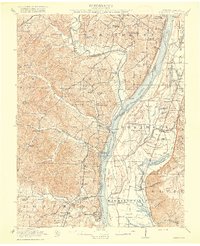
1916 · Kimmswick
USGS Topo · 1:62,500
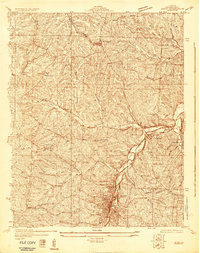
1930 · De Soto NE
USGS Topo · 1:24,000
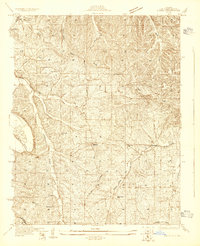
1930 · Pacific SE
USGS Topo · 1:24,000
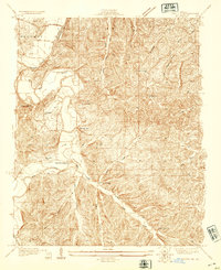
1931 · Pacific NE
USGS Topo · 1:24,000
1948 · Kimmswick
USGS Topo · 1:62,500
1949 · Saint Louis
USGS Topo · 1:250,000
1949 · Crystal City
USGS Topo · 1:62,500