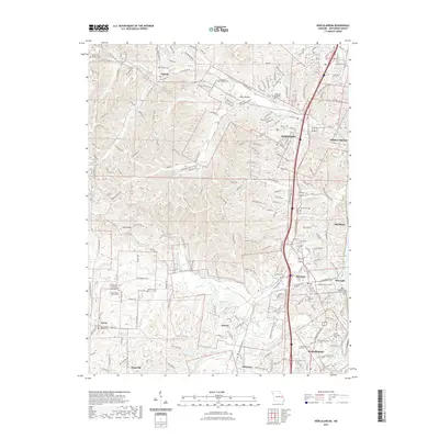
2021 Map of Herculaneum
USGS Topo · Published 2021About this map
Joachim Creek winds through the eastern portion of this Missouri landscape, serving as a geographic anchor for the industrial and residential corridors of Herculaneum and Pevely. The terrain transitions from the lowlands near the Mississippi River toward the western hills, where landmarks like Sand Ridge and the Daniel Dunklin Grave Historic Site offer glimpses into the area’s local heritage. Small settlements like Antonia, Horine, and Mapaville are connected by a network of historic routes including Old State Hwy M and Old Lean Ferry Rd.
Find a feature on this map
45 named features on this map. Tap any name to fly to it.
Don’t see what you’re looking for? This feature index may not catch every label — zoom into the map to look around manually.
Map Details
Editions of this 2021 Herculaneum Map
This is the sole edition of this map. No revisions or reprints were ever made.
Other maps of this area

1901 · De Soto
USGS Topo · 1:125,000

1912 · Kimmswick
USGS Topo · 1:62,500

1915 · Crystal City
USGS Topo · 1:62,500

1916 · Kimmswick
USGS Topo · 1:62,500

1930 · De Soto NE
USGS Topo · 1:24,000

1930 · Pacific SE
USGS Topo · 1:24,000

1931 · Pacific NE
USGS Topo · 1:24,000

1948 · Kimmswick
USGS Topo · 1:62,500

1949 · Saint Louis
USGS Topo · 1:250,000

1949 · Crystal City
USGS Topo · 1:62,500