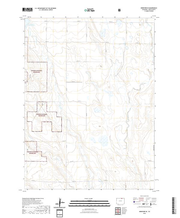
2022 Map of Hereford SE
USGS Topo · Published 2022About this map
Pawnee National Grassland dominates this high plains landscape in Weld County, where the topography is defined by the ephemeral drainage patterns of the western steppe. The sheet preserves a detailed view of the water management and livestock infrastructure essential to this arid environment, most notably the Adams and Bunker Reservoir Number 2 in the northwest corner. A network of county roads, including Co RD 122 and Co RD 79, follows the established Section lines, reflecting the enduring legacy of the Public Land Survey System across the prairie.
Find a feature on this map
31 named features on this map. Tap any name to fly to it.
Don’t see what you’re looking for? This feature index may not catch every label — zoom into the map to look around manually.
Map Details
Editions of this 2022 Hereford SE Map
This is the sole edition of this map. No revisions or reprints were ever made.
Other maps of this area

1954 · Greeley
USGS Topo · 1:250,000

1957 · Greeley
USGS Topo · 1:250,000

1958 · Greeley
USGS Topo · 1:250,000

1961 · Greeley
USGS Topo · 1:250,000

1964 · Greeley
USGS Topo · 1:250,000

1965 · Greeley
USGS Topo · 1:250,000
1972 · Grover North
USGS Topo · 1:24,000

1972 · Briggsdale
USGS Topo · 1:24,000

1972 · Keota NW
USGS Topo · 1:24,000
1972 · Reno Reservoir
USGS Topo · 1:24,000