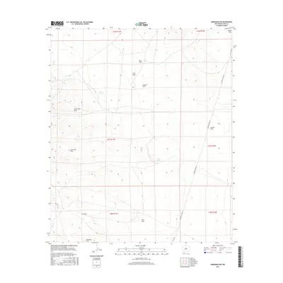
2017 Map of Hermanas NW
USGS Topo · Published 2017About this map
Hermanas Draw and a complex network of ephemeral watercourses define this high desert landscape in southwestern Luna County. The terrain is marked by numerous named drainages, including Bisbee Draw, Suckerville Draw, and Corkscrew Draw, which highlight the importance of water management in this arid environment. Man-made water features such as Kent Tank, Art Tank, and Frijole Tank are scattered throughout the quadrangle, serving as critical landmarks for local ranching operations.
Find a feature on this map
23 named features on this map. Tap any name to fly to it.
Don’t see what you’re looking for? This feature index may not catch every label — zoom into the map to look around manually.
Map Details
Editions of this 2017 Hermanas NW Map
This is the sole edition of this map. No revisions or reprints were ever made.
Other maps of this area

1899 · Deming
USGS Topo · 1:125,000

1915 · Deming
USGS Topo · 1:125,000

1917 · Hermanas
USGS Topo · 1:62,500

1918 · Hermanas
USGS Topo · 1:62,500

1918 · Victorio
USGS Topo · 1:62,500

1943 · Hermanas
USGS Topo · 1:62,500

1953 · El Paso
USGS Topo · 1:250,000

1954 · Silver City
USGS Topo · 1:250,000

1955 · Douglas
USGS Topo · 1:250,000

1955 · Las Cruces
USGS Topo · 1:250,000