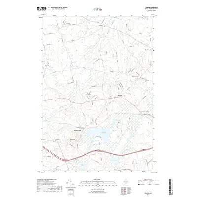
2018 Map of Hermon
USGS Topo · Published 2018About this map
Hermon Pond and the surrounding wetland complex dominate the southern portion of this landscape, where the waters of Souadabscook Stream and Wheeler Stream converge. The area is defined by a series of distinct rural settlements including Hermon Center, Snow Corner, and North Newburgh, each connected by a network of established roads like Griffin Rd and Fuller Rd. Small, family-named burial grounds such as Birch Grove Cem and Snows Corner Cem are scattered across the terrain, offering significant points of interest for those researching local lineage. To the north, the headwaters of Black Stream flow through Levant, while the southern reaches feature the prominent elevation of Hinkley Hill overlooking Ben Annis Pond. The map illustrates a well-developed community structure, with local athletic fields like Griffin Field and Miller's Field integrated into the rural fabric near the western edge of the quadrangle.
Find a feature on this map
103 named features on this map. Tap any name to fly to it.
Don’t see what you’re looking for? This feature index may not catch every label — zoom into the map to look around manually.
Map Details
Editions of this 2018 Hermon Map
This is the sole edition of this map. No revisions or reprints were ever made.
Other maps of this area

1900 · Bucksport
USGS Topo · 1:62,500

1902 · Bucksport
USGS Topo · 1:62,500

1902 · Bangor
USGS Topo · 1:62,500

1931 · Stetson
USGS Topo · 1:48,000

1932 · Brooks
USGS Topo · 1:62,500

1935 · Stetson
USGS Topo · 1:62,500

1942 · Bangor
USGS Topo · 1:62,500

1942 · Bucksport
USGS Topo · 1:62,500

1946 · Bangor
USGS Topo · 1:62,500

1948 · Bangor
USGS Topo · 1:250,000