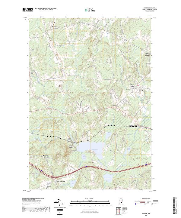
2024 Map of Hermon
USGS Topo · Published 2024About this map
Hermon Pond and Hammond Pond anchor the landscape of south-central Penobscot County, where the topography transitions from the low-lying Hermon Bog to the rises of Hermon Hill and Hinkley Hill. This 2024 data reveals a community defined by its cluster of distinct historical hamlets, including Hermon Center, Snow Corner, and North Hermon. For genealogists, the map provides precise locations for numerous burial grounds such as Birch Grove Cem and the Snows Corner Cem near the intersection of Billings Rd and Cambridge Dr. The intricate hydrography of the region is traced through the meandering Souadabscook Stream and Black Stream, which weave through the agricultural and residential outskirts of Levant and North Newburgh.
Find a feature on this map
66 named features on this map. Tap any name to fly to it.
Don’t see what you’re looking for? This feature index may not catch every label — zoom into the map to look around manually.
Map Details
Editions of this 2024 Hermon Map
This is the sole edition of this map. No revisions or reprints were ever made.
Other maps of this area

1900 · Bucksport
USGS Topo · 1:62,500

1902 · Bucksport
USGS Topo · 1:62,500

1902 · Bangor
USGS Topo · 1:62,500

1931 · Stetson
USGS Topo · 1:48,000

1932 · Brooks
USGS Topo · 1:62,500

1935 · Stetson
USGS Topo · 1:62,500

1942 · Bangor
USGS Topo · 1:62,500

1942 · Bucksport
USGS Topo · 1:62,500

1946 · Bangor
USGS Topo · 1:62,500

1948 · Bangor
USGS Topo · 1:250,000