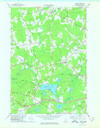
1978 Map of Hermon
USGS Topo · Published 1978About this map
The Maine Central railroad cuts through the center of this rural Penobscot County landscape, linking small settlements and crossroads during the mid-1970s. This territory is defined by its transition from the wetlands of Hermon Bog to the cleared agricultural fields surrounding Leathers Corner and Snow Corner. The map reveals a community structured around local infrastructure, featuring the Hermon Sch and various local burial grounds such as Pine Tree Cem and Ruggle Cem.
Find a feature on this map
74 named features on this map. Tap any name to fly to it.
Don’t see what you’re looking for? This feature index may not catch every label — zoom into the map to look around manually.
Map Details
Editions of this 1978 Hermon Map
This is the sole edition of this map. No revisions or reprints were ever made.
Other maps of this area

1900 · Bucksport
USGS Topo · 1:62,500

1902 · Bucksport
USGS Topo · 1:62,500

1902 · Bangor
USGS Topo · 1:62,500

1931 · Stetson
USGS Topo · 1:48,000
1932 · Brooks
USGS Topo · 1:62,500
1935 · Stetson
USGS Topo · 1:62,500
1942 · Bangor
USGS Topo · 1:62,500
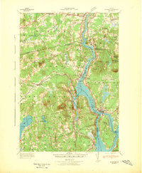
1942 · Bucksport
USGS Topo · 1:62,500
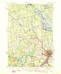
1946 · Bangor
USGS Topo · 1:62,500

1948 · Bangor
USGS Topo · 1:250,000