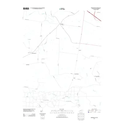
2013 Map of Herndon
USGS Topo · Published 2013About this map
Herndon and the surrounding agricultural landscapes of Christian County appear in high detail at the edge of the Kentucky-Tennessee border. This region is characterized by a network of rural roads connecting small settlements like Bennettstown, Howel, and LaFayette. The map documents numerous family and local burial sites, including Major Cem, Double Barn Cem, and McGee Cem, which provide critical touchpoints for genealogical research.
Find a feature on this map
46 named features on this map. Tap any name to fly to it.
Don’t see what you’re looking for? This feature index may not catch every label — zoom into the map to look around manually.
Map Details
Editions of this 2013 Herndon Map
This is the sole edition of this map. No revisions or reprints were ever made.
Other maps of this area

1944 · Clarksville
USGS Topo · 1:50,000

1950 · Caledonia
USGS Topo · 1:24,000

1951 · Church Hill
USGS Topo · 1:24,000

1951 · Caledonia
USGS Topo · 1:24,000

1951 · Hopkinsville
USGS Topo · 1:24,000

1951 · Roaring Spring
USGS Topo · 1:24,000

1951 · New Providence
USGS Topo · 1:24,000

1951 · Indian Mound
USGS Topo · 1:24,000

1951 · Herndon
USGS Topo · 1:24,000

1951 · Oak Grove
USGS Topo · 1:24,000