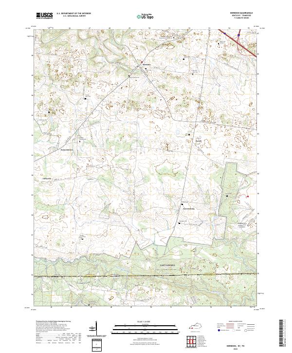
2022 Map of Herndon
USGS Topo · Published 2022About this map
Herndon and the surrounding agricultural lands of Christian County define this borderland region where Kentucky meets Tennessee. The landscape is dotted with several family burial sites, including the Boddie Family Cem and the Weaver Family Cem, alongside the Flat Lick Cumberland Presbyterian Church. These small, localized landmarks are indicative of the area's long-standing rural settlement patterns and genealogical depth.
Find a feature on this map
63 named features on this map. Tap any name to fly to it.
Don’t see what you’re looking for? This feature index may not catch every label — zoom into the map to look around manually.
Map Details
Editions of this 2022 Herndon Map
This is the sole edition of this map. No revisions or reprints were ever made.
Other maps of this area

1944 · Clarksville
USGS Topo · 1:50,000

1950 · Caledonia
USGS Topo · 1:24,000

1951 · Church Hill
USGS Topo · 1:24,000

1951 · Caledonia
USGS Topo · 1:24,000

1951 · Hopkinsville
USGS Topo · 1:24,000

1951 · Roaring Spring
USGS Topo · 1:24,000

1951 · New Providence
USGS Topo · 1:24,000

1951 · Indian Mound
USGS Topo · 1:24,000

1951 · Herndon
USGS Topo · 1:24,000

1951 · Oak Grove
USGS Topo · 1:24,000