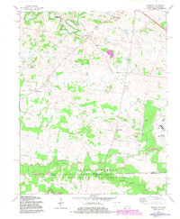
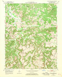
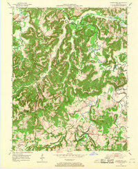
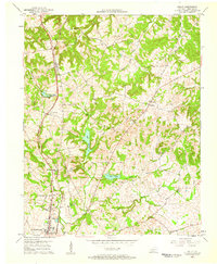
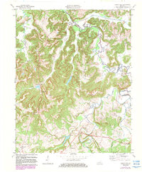
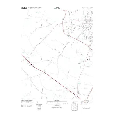
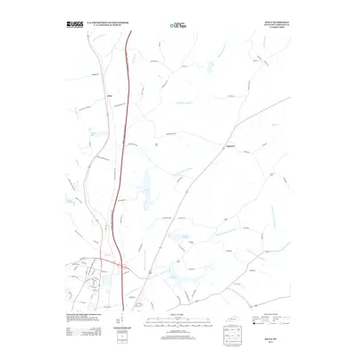
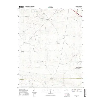
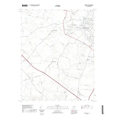
1978 Map of Herndon
USGS Topo · Published 1983About this map
The Fort Campbell Military Reservation dominates the southern landscape of this 1978 edition, stretching across the Kentucky Tennessee state line. This transition zone between Christian and Montgomery counties shows a region shaped by both agricultural heritage and modern military infrastructure. Small rural hubs like Herndon and Garrettsburg remain anchored by local landmarks such as South Christian School and several country churches, including Zion Hope Ch and Flat Lick Ch.
Find a feature on this map
40 named features on this map. Tap any name to fly to it.
Don’t see what you’re looking for? This feature index may not catch every label — zoom into the map to look around manually.
Map Details
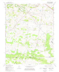
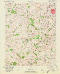
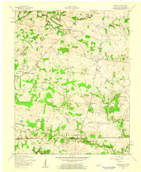
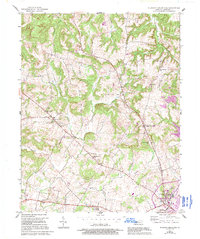
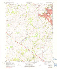
Editions of this 1978 Herndon Map
2 editions found
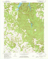
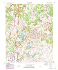
Historical Maps of LaFayette Through Time
58 maps found

1951 Church Hill
Christian County, KY

1951 Herndon
Christian County, KY
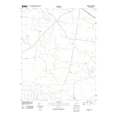
1952 Honey Grove
Christian County, KY

1952 Kelly
Christian County, KY
1952 Pleasant Green Hill
Christian County, KY
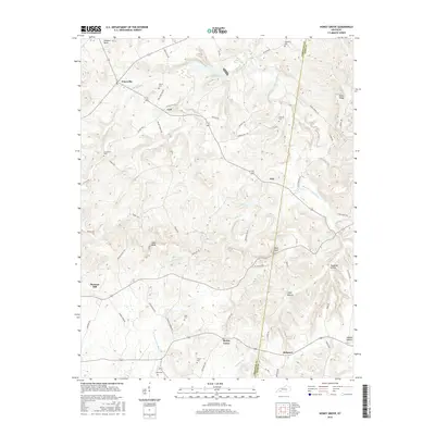
1953 Dawson Springs SE
Christian County, KY

1953 Dawson Springs SW
Christian County, KY
1953 Haleys Mill
Christian County, KY
1956 Church Hill
Christian County, KY
1957 Herndon
Christian County, KY
1957 Kelly
Christian County, KY
1957 Pleasant Green Hill
Christian County, KY
1967 Dawson Springs SW
Christian County, KY
1969 Kelly
Christian County, KY
1972 Haleys Mill
Christian County, KY
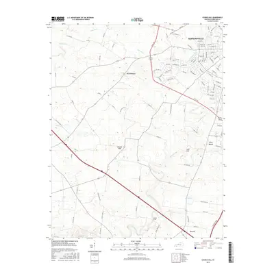
1978 Church Hill
Christian County, KY
1978 Herndon
Christian County, KY
1993 Kelly
Christian County, KY
2010 Church Hill
Christian County, KY

2010 Dawson Springs SE
Christian County, KY

2010 Dawson Springs SW
Christian County, KY
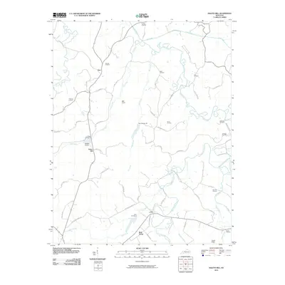
2010 Haleys Mill
Christian County, KY
2010 Herndon
Christian County, KY
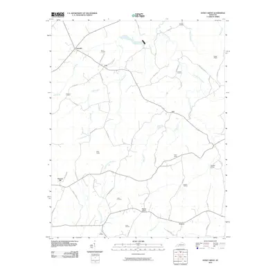
2010 Honey Grove
Christian County, KY
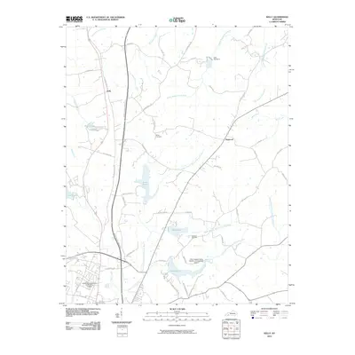
2010 Kelly
Christian County, KY

2010 Pleasant Green Hill
Christian County, KY
2013 Church Hill
Christian County, KY

2013 Dawson Springs SE
Christian County, KY

2013 Dawson Springs SW
Christian County, KY
2013 Haleys Mill
Christian County, KY
2013 Herndon
Christian County, KY
2013 Honey Grove
Christian County, KY
2013 Kelly
Christian County, KY

2013 Pleasant Green Hill
Christian County, KY
2016 Church Hill
Christian County, KY
2016 Dawson Springs SE
Christian County, KY

2016 Dawson Springs SW
Christian County, KY
2016 Haleys Mill
Christian County, KY
2016 Herndon
Christian County, KY
2016 Honey Grove
Christian County, KY
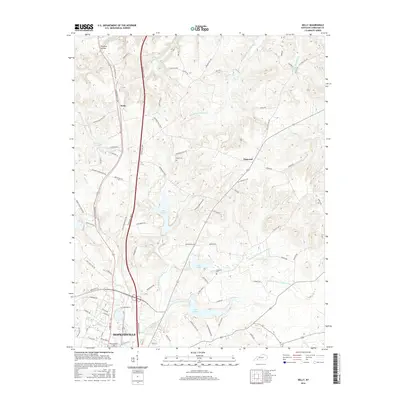
2016 Kelly
Christian County, KY
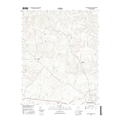
2016 Pleasant Green Hill
Christian County, KY
2019 Church Hill
Christian County, KY

2019 Dawson Springs SE
Christian County, KY

2019 Dawson Springs SW
Christian County, KY
2019 Haleys Mill
Christian County, KY
2019 Herndon
Christian County, KY
2019 Honey Grove
Christian County, KY
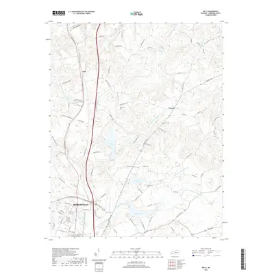
2019 Kelly
Christian County, KY

2019 Pleasant Green Hill
Christian County, KY
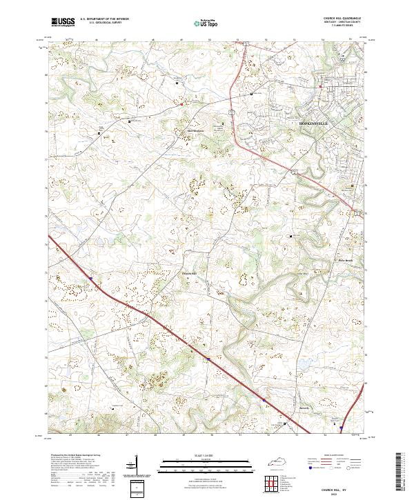
2022 Church Hill
Christian County, KY
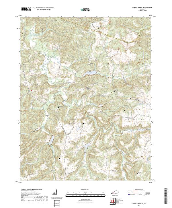
2022 Dawson Springs SE
Christian County, KY
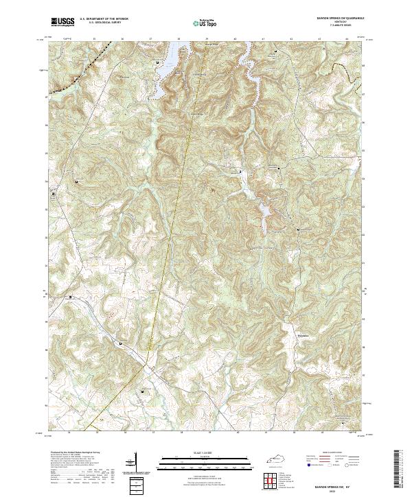
2022 Dawson Springs SW
Christian County, KY
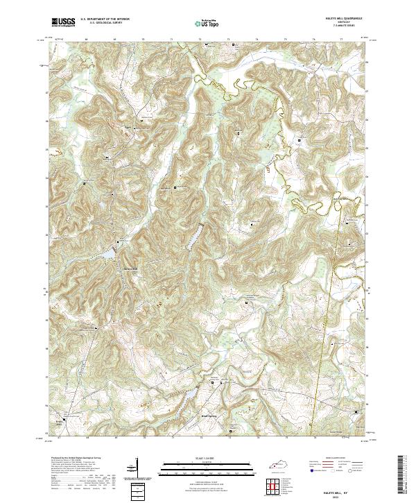
2022 Haleys Mill
Christian County, KY
2022 Herndon
Christian County, KY
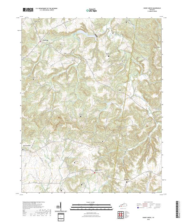
2022 Honey Grove
Christian County, KY
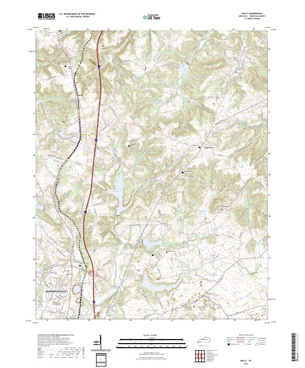
2022 Kelly
Christian County, KY
2022 Pleasant Green Hill
Christian County, KY