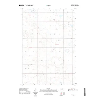
2017 Map of Herreid SW
USGS Topo · Published 2017About this map
Spring Cr winds through the rolling prairie of Campbell County, cutting a subtle path across a landscape defined by the rigid geometry of the Public Land Survey System. This 2017 study captures the rural character of northern South Dakota, where the vastness of the plains is organized by a meticulous grid of section lines and gravel roads. Transport and property boundaries are marked by thoroughfares such as 300th Ave and 105th St, illustrating the long-standing agricultural layout that has persisted since the era of original homesteading. The terrain is dotted with seasonal wetlands and depressions, characteristic of the glacial till landscape, providing a clear view of the natural hydrology that dictates the region's land use and road placement.
Find a feature on this map
21 named features on this map. Tap any name to fly to it.
Don’t see what you’re looking for? This feature index may not catch every label — zoom into the map to look around manually.
Map Details
Editions of this 2017 Herreid SW Map
This is the sole edition of this map. No revisions or reprints were ever made.
Other maps of this area

1953 · McIntosh
USGS Topo · 1:250,000

1958 · McIntosh
USGS Topo · 1:250,000

1965 · Herreid NW
USGS Topo · 1:24,000

1965 · Herreid SW
USGS Topo · 1:24,000

1965 · Herreid NE
USGS Topo · 1:24,000

1965 · Herreid
USGS Topo · 1:24,000

1965 · Pollock SE
USGS Topo · 1:24,000

1965 · Pollock
USGS Topo · 1:24,000

1967 · Mound City
USGS Topo · 1:24,000

1967 · Mobridge NE
USGS Topo · 1:24,000