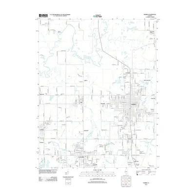
2012 Map of Herrin
USGS Topo · Published 2012About this map
Herrin stands at the center of this 2012 survey, surrounded by a dense network of smaller settlements and historical landmarks in the heart of Southern Illinois. The map documents the sprawling infrastructure of the region, from the Williamson County Regional Airport in the southeast to the scattered rural communities of Dewmaine, Clifford, and Colp. This landscape is defined by its water management and industry, featuring multiple waterworks such as the Royalton Waterworks and Carterville Waterworks, alongside the Big Muddy River and Hurricane Creek. Genealogy researchers will find significant value in the numerous family and community burial grounds, including Greathouse Cemetery and Hinchcliff Cemetery. The transportation patterns, characterized by names like Mine B Road and Herrin Junction, point to the area's deep-rooted history with rail and mining industries that shaped the growth of towns like Carterville and Energy.
Find a feature on this map
224 named features on this map. Tap any name to fly to it.
Don’t see what you’re looking for? This feature index may not catch every label — zoom into the map to look around manually.
Map Details
Editions of this 2012 Herrin Map
This is the sole edition of this map. No revisions or reprints were ever made.
Other maps of this area

1909 · West Frankfort
USGS Topo · 1:62,500

1910 · Herrin
USGS Topo · 1:62,500

1922 · Carbondale
USGS Topo · 1:62,500

1925 · Marion
USGS Topo · 1:62,500

1936 · Herrin
USGS Topo · 1:62,500

1940 · Marion
USGS Topo · 1:62,500

1941 · Carbondale
USGS Topo · 1:62,500

1941 · West Frankfort
USGS Topo · 1:62,500

1949 · Paducah
USGS Topo · 1:250,000

1950 · Paducah
USGS Topo · 1:250,000