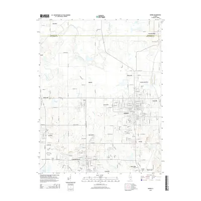
2015 Map of Herrin
USGS Topo · Published 2015About this map
Herrin serves as the central hub for this portion of Southern Illinois, surrounded by a dense network of smaller settlements including Colp, Energy, and Carterville. The landscape is defined by the winding course of the Big Muddy River to the northwest and several smaller tributaries like Hurricane Cr and Pond Cr that drain the local terrain. This 2015 study illustrates the modern suburban and industrial expansion of the region, anchored by the Williamson County Regional Airport and the residential clusters of Eden Park and Crainville. Genealogists and local historians will find significant value in the numerous burial grounds documented here, from the San Carlo Cem in the north to the Hillcrest Cem and Hurricane Cem further south. The map also preserves historical location names like Herrin Junction and Blairsville, indicating the transportation legacy of the area near the Franklin Co and Williamson Co line.
Find a feature on this map
176 named features on this map. Tap any name to fly to it.
Don’t see what you’re looking for? This feature index may not catch every label — zoom into the map to look around manually.
Map Details
Editions of this 2015 Herrin Map
This is the sole edition of this map. No revisions or reprints were ever made.
Other maps of this area

1909 · West Frankfort
USGS Topo · 1:62,500

1910 · Herrin
USGS Topo · 1:62,500

1922 · Carbondale
USGS Topo · 1:62,500

1925 · Marion
USGS Topo · 1:62,500

1936 · Herrin
USGS Topo · 1:62,500

1940 · Marion
USGS Topo · 1:62,500

1941 · Carbondale
USGS Topo · 1:62,500

1941 · West Frankfort
USGS Topo · 1:62,500

1949 · Paducah
USGS Topo · 1:250,000

1950 · Paducah
USGS Topo · 1:250,000