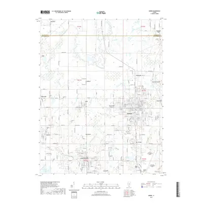
2018 Map of Herrin
USGS Topo · Published 2018About this map
Herrin serves as the focal point of this Williamson County landscape, surrounded by a dense network of smaller mining and rail-oriented settlements. The geography reveals a legacy of industrial activity, evidenced by place names like Chittyville and Herrin Junction, and the persistent paths of the BNSF Railway. To the south, Carterville and Crainville line the approach to Crab Orchard Lake, while the north is defined by the winding course of the Big Muddy River and its associated wetlands. Local history and genealogy researchers will find an exceptional density of burial grounds, from the large East Lawn Memorial Garden to smaller family and community sites like Oakwood Cem and Hurricane Cem. The presence of the Williamson County Regional Airport and the expanding residential footprints of Energy and Cambria illustrate the modern development patterns of this Southern Illinois corridor.
Find a feature on this map
206 named features on this map. Tap any name to fly to it.
Don’t see what you’re looking for? This feature index may not catch every label — zoom into the map to look around manually.
Map Details
Editions of this 2018 Herrin Map
This is the sole edition of this map. No revisions or reprints were ever made.
Other maps of this area

1909 · West Frankfort
USGS Topo · 1:62,500

1910 · Herrin
USGS Topo · 1:62,500

1922 · Carbondale
USGS Topo · 1:62,500

1925 · Marion
USGS Topo · 1:62,500

1936 · Herrin
USGS Topo · 1:62,500

1940 · Marion
USGS Topo · 1:62,500

1941 · Carbondale
USGS Topo · 1:62,500

1941 · West Frankfort
USGS Topo · 1:62,500

1949 · Paducah
USGS Topo · 1:250,000

1950 · Paducah
USGS Topo · 1:250,000